
Southwest States Quiz
How the Scales are Structured
Who Usually Takes This Test?
See How You Compare
Below is a preview of how scores are typically distributed across each scale.
Example Questions From the Test
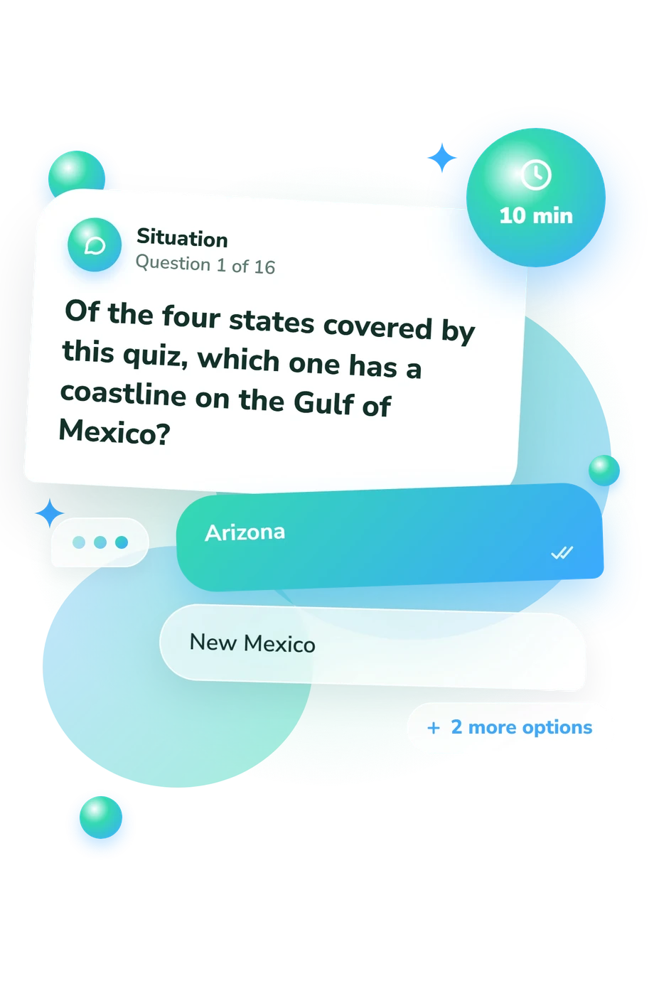
- Arizona
- New Mexico
- Texas
- Oklahoma
- Rio Grande
- Colorado River
- Red River
- Arkansas River
- Albuquerque
- Santa Fe
- Las Cruces
- Roswell
Southwest States Quiz - Description and methodology of the test
For anyone who wants to check knowledge of Arizona, New Mexico, Oklahoma, and Texas, the Southwest States Quiz offers a focused geography exercise. It is suited to learners, travelers, and geography-curious visitors who want to connect names with places rather than memorize isolated facts. This four-state geography quiz highlights spatial relationships among capitals, borders, rivers, and landmarks.
What This Assessment Explores
This assessment focuses on geographic knowledge rather than personality or opinion. Its Southwest geography questions ask visitors to identify capitals, match cities with states, recognize borders, follow rivers, and place landmarks correctly. The questions test whether separate facts become a usable picture of the region.
The result summarizes recall and spatial understanding. The single scale, Southwest States Knowledge, runs from 0-16 correct answers. Results are labeled Building Foundations (0-6), Developing Knowledge (7-12), or Southwest Navigator (13-16).
The main themes represented by the questions are:
- Capital and city knowledge shows how accurately you connect major places with their states.
- Borders and neighboring states reveal whether you can reason about adjacency and direction.
- Rivers and physical geography show how natural features organize regional boundaries.
- Landmarks and protected areas indicate whether you can locate prominent destinations within the four-state area.
Methodology and Evidence Base
Each item uses four-option multiple choice. Some ask directly for a capital or state; others describe a traveler, visitor, or boundary situation that requires applying geographic knowledge. The format checks recognition and basic spatial reasoning.
Deitch and Lantis's work from 1973 supplies the broad regional frame for viewing the American Southwest as a connected geographic area. This questionnaire is conceptually consistent with that work, not an adaptation or reproduction of its items. The 2009 study by Stambaugh and colleagues adds context for the Oklahoma landscape around the Wichita Mountains. National Park Service material on Grand Canyon National Park and Carlsbad Caverns National Park supports the landmark settings represented here.
Scoring uses the number of correct responses, while the displayed bands describe the supplied score ranges and the knowledge levels shown for this questionnaire. A result from this geography quiz can vary with schooling, travel experience, memory, and familiarity with map conventions. Treat it as a focused snapshot: a strong result reflects command of the tested facts, while a lower one identifies topics for review rather than a fixed limit on ability.
- Deitch, Lewis I., and David W. Lantis. "The American Southwest." The Geographical Bulletin, vol. 6, no. 1, 1973, article 2.
- Stambaugh, Michael C., Richard P. Guyette, Ralph Godfrey, E. R. McMurry, and J. M. Marschall. "Fire, Drought, and Human History near the Western Terminus of the Cross Timbers, Wichita Mountains, Oklahoma, USA." Fire Ecology, vol. 5, 2009, pp. 51-65. 10.4996/fireecology.0502051.
- National Park Service. "Grand Canyon National Park." U.S. Department of the Interior, n.d.
- National Park Service. "Carlsbad Caverns National Park." U.S. Department of the Interior, n.d.
Updated: