
Southern Europe Map Quiz
How the Scales are Structured
Who Usually Takes This Test?
See How You Compare
Below is a preview of how scores are typically distributed across each scale.
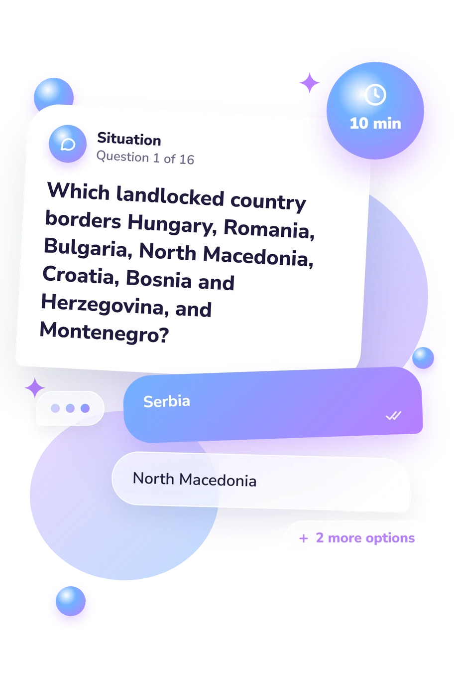
Example Questions From the Test
- Serbia
- North Macedonia
- Croatia
- Bosnia and Herzegovina
- Montenegro
- Croatia
- Slovenia
- Albania
- Italy
- Croatia
- Greece
- Spain
Southern Europe Map Quiz - Description and methodology of the test
People who want to check their geographic orientation can use the Southern Europe Map Quiz to identify countries from written clues about borders, seas, peninsulas, islands, and enclaves. It suits learners, travelers, and curious adults who want a focused regional exercise. In practice, this southern Europe quiz presents a written, location-based task covering relationships among countries and physical features across the region.
What This Assessment Measures
The questions measure applied map knowledge rather than capitals, flags, or history. Clues ask you to infer a country from neighboring states, coastline position, seas, islands, border crossings, or distinctive enclaves. The task suits readers strengthening regional orientation through written clues and relational geographic knowledge.
The stated UN M49 Southern Europe scope gives this assessment a broad regional frame, so the south Europe map quiz includes Iberia and Italy as well as the Adriatic, Balkans, Greece, Malta, and nearby microstates. Southern Europe Knowledge (0-16) records correct answers for the 16 represented countries and locations; other regional definitions may differ.
The result appears in three bands:
- Foundations (0-6) indicates some major-place recognition, with practice still useful for borders, smaller states, and Balkan geography.
- Developing Navigator (7-12) shows a solid regional picture, although some locations remain easy to confuse.
- Southern Europe Expert (13-16) reflects identification of nearly all or all locations from precise spatial clues.
Methodology and Evidence Base
Each item presents one location clue with four answer choices, so the respondent compares spatial relationships rather than recalling an isolated name. The displayed scale records correct answers from 0 to 16.
The scope follows the UN M49 Southern Europe classification, which supplies the stated regional frame. The questionnaire is not the Lee and Bednarz spatial-thinking test itself and is not an adaptation of it. That study offers only a conceptual comparison because the online quiz uses spatial relations, direction, boundaries, and location-based reasoning rather than a validated spatial-thinking protocol.
Although it can serve as a southeastern Europe map quiz, the assessment reaches beyond that subregion: its broader Southern Europe coverage also includes Portugal, Spain, Italy, Malta, Andorra, San Marino, Vatican City, and Gibraltar. That breadth separates regional map familiarity from a narrow focus on one subregion.
Interpretation is straightforward: a higher raw total means more locations were identified correctly in this set. As an online, unvalidated knowledge assessment, the quiz presents descriptive bands as a snapshot of current knowledge; attention, guessing, and familiarity with the wording can also affect performance.
- United Nations Statistics Division. Standard Country or Area Codes for Statistical Use (M49), Revision 4. Statistical Papers, Series M, No. 49, ST/ESA/STAT/SER.M/49/Rev.4. New York: United Nations, 1999.
- Lee, Jongwon, and Robert Bednarz. Components of Spatial Thinking: Evidence from a Spatial Thinking Ability Test. Journal of Geography, 111(1), 2012, 15-26. 10.1080/00221341.2011.583262
Updated: