
Northeast States Quiz
How the Scales are Structured
Who Usually Takes This Test?
See How You Compare
Below is a preview of how scores are typically distributed across each scale.
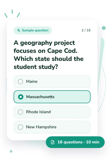
Example Questions From the Test
- Connecticut
- Delaware
- New Jersey
- Rhode Island
- Maine
- Massachusetts
- Rhode Island
- New Hampshire
- Pennsylvania and New Jersey
- Vermont and New Hampshire
- New York and Vermont
- Connecticut and Rhode Island
Northeast States Quiz - Description and methodology of the test
Students, travelers, and curious adults may use the northeast states quiz when deciding whether they are ready for a class activity, trip, or study session involving the region. This northeast quiz offers a structured way to choose between proceeding with existing knowledge and preparing more thoroughly before the event. It gives prospective learners a clear reason to take the assessment before committing to a lesson, itinerary, or study plan.
What This Assessment Measures
This assessment measures factual knowledge of the U.S. Northeast, using regional membership, capitals, landmarks, borders, and neighboring locations as clues. It suits anyone seeking a concise map-based check.
The result is Northeast States Knowledge, scored from 0-16. Foundation (0-6) indicates some recognition; Developing (7-12) shows a useful grasp; Strong (13-16) indicates broad knowledge of states, capitals, borders, and landmarks. These bands describe performance here, not fixed ability.
The questions make this a northeastern states quiz: they connect regional membership, capitals, landmarks, borders, and neighboring locations rather than isolated labels.
These themes shape the result:
- State membership shows whether you recognize the region and its divisions.
- Capital and landmark associations show whether you link places to the correct state.
- Borders and physical geography show whether rivers, coasts, mountains, and neighbors lead you to the right location.
Methodology and Evidence Base
Each item presents a question with four answer choices. Some require direct recall; others use a travel, map, border, capital, or landmark clue, asking the respondent to select the best fit. This format tests recognition and simple application without written explanations.
The Census Bureau classification supplies the regional frame, including New England and Middle Atlantic divisions. Benton-Short, Short, and Mayda correspond to the questionnaire’s boundary and place-connection clues, while Montès corresponds to its treatment of state capitals. The questionnaire is conceptually consistent with these sources, but its scoring is not standardized or norm-referenced; conceptual consistency does not constitute validation or adaptation.
The displayed result presents the respondent’s score with one of the stated performance bands. This northeast region quiz offers a snapshot of performance on these items, helping a learner decide whether broader review of regional geography is worthwhile.
Because performance depends on personal answers, guessing, attention, memory, and recent study can affect the result. This northeast map quiz measures responses to its selected clues, so one online score cannot represent every aspect of geographic knowledge.
- U.S. Census Bureau. Geographic Levels. U.S. Census Bureau, 2021.
- Lisa Benton-Short, John Rennie Short, and Chris Mayda. A Regional Geography of the United States and Canada: Toward a Sustainable Future. 2nd ed. Rowman & Littlefield, 2018. ISBN 9781442277182.
- Christian Montès. American Capitals: A Historical Geography. University of Chicago Press, 2014. 10.7208/chicago/9780226080512.001.0001.