
Australia Physical Map Quiz
How the Scales are Structured
Who Usually Takes This Test?
See How You Compare
Below is a preview of how scores are typically distributed across each scale.
Example Questions From the Test
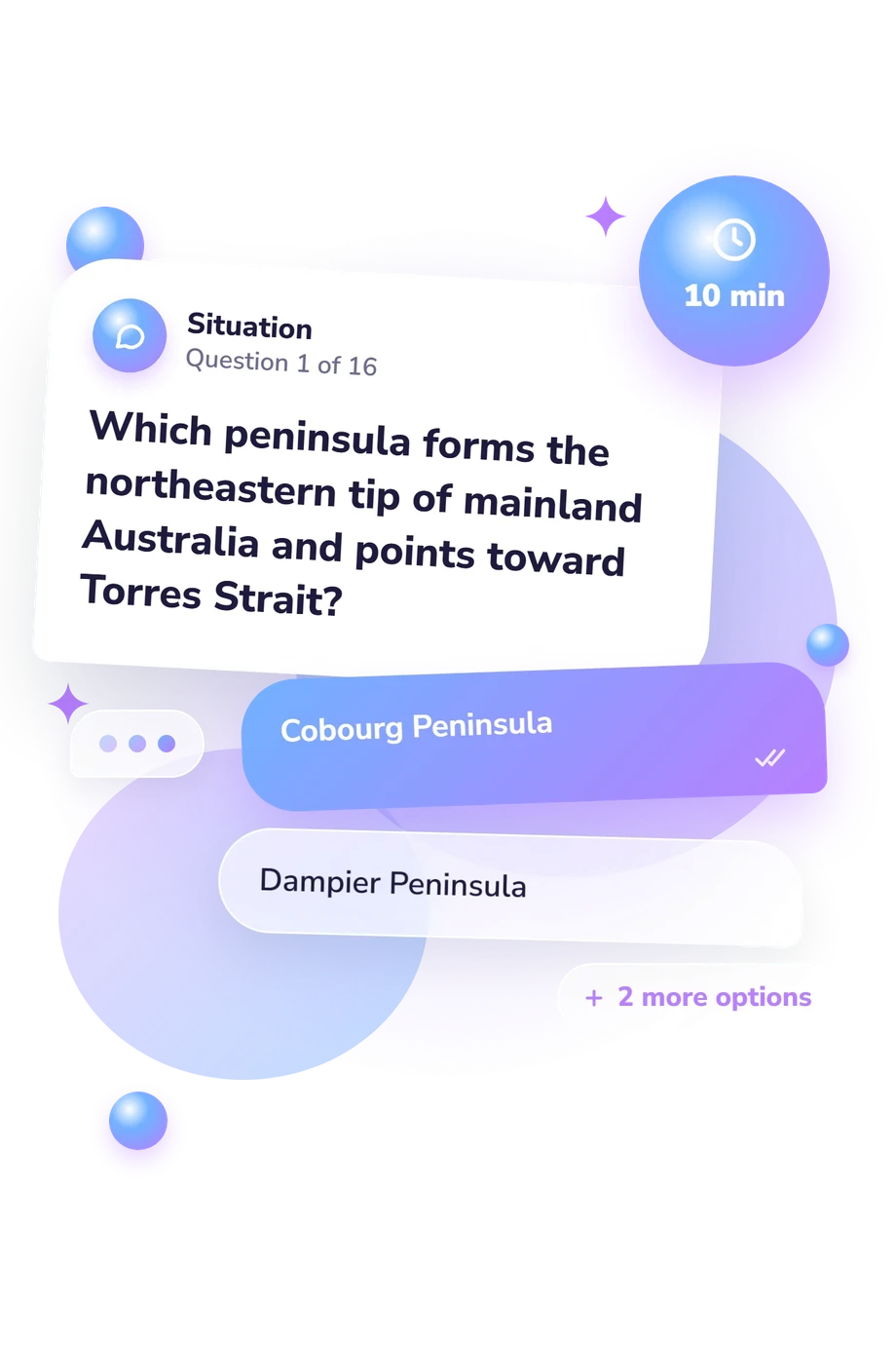
- Cobourg Peninsula
- Dampier Peninsula
- Cape York Peninsula
- Eyre Peninsula
- Flinders Ranges
- MacDonnell Ranges
- Grampians
- Hamersley Range
- Tasmania
- King Island
- Kangaroo Island
- Flinders Island
Australia Physical Map Quiz - Description and methodology of the test
For learners building a clearer mental map of the continent, the Australia Physical Map Quiz offers a focused way to check knowledge of places that are easy to confuse. It suits students, travellers, teachers, and curious adults who want a practical Australia geography quiz focused on physical features and location. The result indicates how confidently the respondent identifies major physical features and interprets location clues.
What This Assessment Explores
The questions examine spatial knowledge of Australia's landforms, regions, waterways, coastlines, islands, and neighbouring seas. They ask respondents to connect a name with a position, landscape, drainage direction, or surrounding feature, so the result reflects relationships between places. This Australia physical features map quiz links features with locations and highlights areas for review.
The result uses one scale, Australia Physical Geography Knowledge (0-16), with Foundation (0-6), Developing (7-12), and Strong (13-16). These bands move from partial recognition, through developing connections, to accurate identification and confident reasoning from location clues.
The content covers four practical areas:
- Landforms and relief show recognition of ranges, plains, and peninsulas.
- Regions and landscapes indicate whether broad areas are matched with their locations.
- Waterways and drainage reveal understanding of rivers, basins, and inland flow.
- Coasts, seas, and islands test knowledge of offshore features and surrounding geography.
Methodology and Evidence Base
Each item presents a geographical prompt with four answer choices. The respondent selects one best match, often by combining a named place with a directional, regional, or environmental clue. The four-choice responses produce one displayed knowledge score rather than separate topic scores, so the result reflects performance across this set of prompts.
Geographic content context comes from Kleeman's curriculum-oriented framework for locating and connecting information, Australian physical-systems work associated with Bridgman, Dragovich, and Dodson, and drainage mapping by Geoscience Australia and Stein, Hutchinson, and Stein. Together, these frameworks explain the geographic context of the questions rather than providing psychometric validation for the online questionnaire.
Map-based questions identify strengths and study priorities, helping the respondent practise Australia map skills in targeted review. A higher result reflects accurate answers to this set of features and clues, while the bands describe performance on this set of questions; neither should be treated as a population comparison or complete knowledge of every Australian landscape. Performance may vary with prior study, map familiarity, attention to wording, and guessing.
- Kleeman, Grant. Skills in Geography: Australian Curriculum. Port Melbourne, VIC: Cambridge University Press, 2014. ISBN 9781107636088.
- Bridgman, Howard, Deirdre Dragovich, and John Dodson. The Australian Physical Environment. 1st ed. South Melbourne, VIC: Oxford University Press Australia, 2008. ISBN 9780195541090.
- Geoscience Australia. Australia's River Basins 1997 Product User Guide. 3rd ed. Canberra: Commonwealth of Australia, 2004.
- Stein, J. L., M. F. Hutchinson, and J. A. Stein. A new stream and nested catchment framework for Australia. Hydrology and Earth System Sciences, 18(5), 1917-1933, 2014. 10.5194/hess-18-1917-2014
Updated: