
Africa Rivers Quiz
How the Scales are Structured
Who Usually Takes This Test?
See How You Compare
Below is a preview of how scores are typically distributed across each scale.
Example Questions From the Test
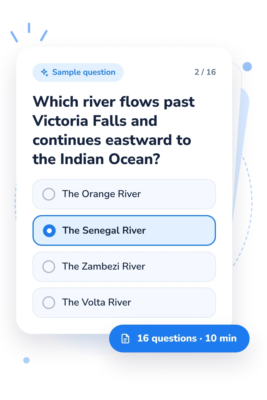
- The Orange River
- The Senegal River
- The Zambezi River
- The Volta River
- The Congo River
- The Nile
- The Zambezi River
- The Niger River
- The Zambezi River
- The Limpopo River
- The Congo River
- The Niger River
Africa Rivers Quiz - Description and methodology of the test
Readers who want to check their knowledge of African waterways and their geographic connections can use this assessment to link landmarks with rivers, lakes, outlets, and drainage routes. The Africa Rivers Quiz suits learners, travelers, and anyone curious about these relationships. As an African bodies of water quiz, it examines connections among African rivers, lakes, outlets, and drainage routes.
What This Assessment Explores
Together, the questions form an African rivers quiz about major rivers, lakes, outlets, drainage basins, and landforms. They ask you to infer a waterway from its route, match a lake with the system leaving it, or connect a landmark with its river. The result indicates how securely these relationships are understood.
The main content areas are:
- River identity and location show whether you can place major channels within Africa.
- Landmarks and routes show whether you connect Victoria Falls, the Okavango Delta, and Nile junctions to correct waterways.
- Lakes and outlets show whether you understand shared lakes, inland drainage, and downstream connections.
- Drainage paths show whether you can follow water toward an ocean or inland basin.
The Africa Rivers Knowledge scale is 0-16: Foundations 0-6, Developing 7-12, and Strong 13-16. The bands mark increasing command of the tested geography.
Methodology and Evidence Base
Four-option multiple-choice items give the assessment a content-knowledge format. Some prompts ask for direct identification; others describe an outlet, landmark, route, or river-lake connection. This makes it an African river geography quiz focused on geographic relationships rather than self-reported attitudes or symptoms.
The questionnaire presents selected-answer performance as one aggregate knowledge score. Because that score reflects the specific rivers, lakes, outlets, drainage routes, and landforms represented in the items, interpret it as content-based feedback about those relationships.
Content is conceptually consistent with Adams, Goudie and Orme (1999), linking African rivers, lakes, outlets, drainage, and named landforms. Onyari, Bodunrin and Nyika (2024) add hydrological context; Baumhauer (2025) and Sene, Carr and Tych (2021) add physical-geography and lake-system context. Together, these sources provide a subject-matter context for interpreting the questions.
Interpret the outcome as a snapshot of geographic knowledge. Education, travel, map familiarity, attention, and guessing can affect answers, while one score cannot capture every aspect of expertise. Use it to identify topics for review.
- Adams, William M., Andrew S. Goudie, and Antony R. Orme, eds. The Physical Geography of Africa. Oxford University Press, 1999. ISBN 9780198234067.
- Onyari, Ednah K., Racheal Bodunrin, and Joan Nyika. “African river hydrology.” In Afrotropical Streams and Rivers: Structure, Ecological Processes and Management, edited by Tatenda Dalu and Frank O. Masese, 209-224. Elsevier, 2024. 10.1016/B978-0-443-23898-7.00009-9
- Baumhauer, Roland. Physical Geography of Africa. Springer, 2025. 10.1007/978-3-662-71406-5
- Sene, Kevin, Helen Houghton Carr, and Wlodek Tych. “Reflections on almost a century of hydrological studies on Africa’s largest lake.” Proceedings of the International Association of Hydrological Sciences, 384, 141-147, 2021. 10.5194/piahs-384-141-2021
Updated: