
WV Counties Quiz
How the Scales are Structured
Who Usually Takes This Test?
See How You Compare
Below is a preview of how scores are typically distributed across each scale.
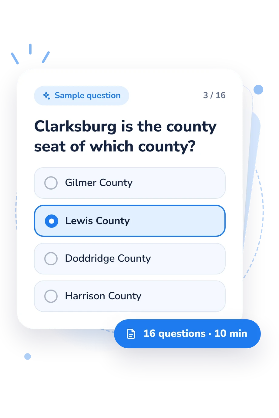
Example Questions From the Test
- Nicholas County
- Webster County
- Braxton County
- Clay County
- Calhoun County
- Ritchie County
- Roane County
- Wirt County
- Gilmer County
- Lewis County
- Doddridge County
- Harrison County
WV Counties Quiz - Description and methodology of the test
Whether you are a West Virginia resident, planning a trip, studying local history, or simply curious about the state, the WV Counties Quiz offers a focused way to check how you connect places with counties. Its questions turn familiar cities, county seats, landmarks, and regional settings into a practical geography check. This WV map quiz focuses on county-place relationships and gives an overall statewide knowledge result; missed questions can identify topics for review.
What This Assessment Explores
Questions ask you to identify a county from a recognizable place or situation. County seats such as Clarksburg, Spencer, Lewisburg, and Wheeling appear alongside landmarks, destinations, and regional communities, making the result a practical check of statewide geographic knowledge. The format makes this a practical West Virginia county quiz for residents, travelers, students, and anyone reviewing the state’s county layout.
The result brings together these dimensions:
- County seats and civic locations show whether you can connect government centers with their counties.
- Landmarks, destinations, and natural features show how well you place recognizable sites.
- West Virginia Counties Knowledge (0-16) summarizes performance: Building the map (0-6) reflects uneven connections; Developing statewide knowledge (7-12) reflects many familiar links with some gaps; Strong statewide command (13-16) reflects accurate connections across varied parts of the state.
Methodology and Reference Sources
Each item presents a geographic prompt followed by four answer choices. The task may involve a county seat, a courthouse, a landmark, a city, or a border-region setting. They connect familiar places with county administration and history. The four-choice responses produce one total for the questionnaire.
Several geographic and historical reference works supply context for the county, place, and civic facts addressed by the questions. A historical county-boundary atlas helps anchor county identities and boundary context. Riddel’s 2008 historical atlas, the state’s 2017-2018 Blue Book, and Gannett’s 1904 USGS gazetteer provide complementary historical, civic, and place-name references. They clarify the subject matter without serving as psychometric evidence for the quiz.
That distinction matters for interpretation. As a West Virginia geography test, the quiz measures recognition of selected county-place relationships, not complete mastery of every locality or a standardized ability trait. The displayed bands are descriptive summaries of performance on this question set, indicating the level reached within the quiz rather than a normed ability level. Results can also shift with local experience, recent travel, memory, or guessing.
- Long, John H., editor; Peggy Tuck Sinko, Gordon DenBoer, Laura Rico-Beck, Peter Siczewicz, Emily Kelley, and Robert Will. West Virginia Atlas of Historical County Boundaries. Chicago: The Newberry Library, 2003.
- Riddel, Frank S. The Historical Atlas of West Virginia. Morgantown: West Virginia University Press, 2008.
- West Virginia Legislature, Senate Clerk's Office. West Virginia Blue Book 2017-2018. Charleston, WV: West Virginia Legislature, 2017.
- Gannett, Henry. A Gazetteer of West Virginia. U.S. Geological Survey Bulletin 233. Washington, DC: Government Printing Office, 1904. 10.3133/b233.
Updated: