
Middle East Map Quiz
How the Scales are Structured
Who Usually Takes This Test?
See How You Compare
Below is a preview of how scores are typically distributed across each scale.
Example Questions From the Test
- Lebanon
- Syria
- Iran
- Iraq
- Saudi Arabia
- Oman
- Yemen
- Jordan
- Sinai and the Negev
- The West Bank and Sinai
- Galilee and the Golan Heights
- The West Bank and the Gaza Strip
Middle East Map Quiz - Description and methodology of the test
For readers who want to check how confidently they connect regional place names with countries and physical features, this middle east quiz offers a focused assessment. The Middle East Map Quiz suits learners, travellers, and curious adults who want a quick sense of their current map knowledge. Its result indicates the level of geographic knowledge reflected in answers about countries, borders, coastlines, capitals, and physical features.
What This Assessment Measures
Location knowledge is the focus: the quiz asks whether a respondent can connect a capital, river, coastline, peninsula, border, or neighbouring country with the correct state. Questions about countries in the region give this middle east countries quiz a practical focus on place relationships, not opinions.
The main themes are:
- Country and capital links show whether urban clues lead to the correct national location.
- Borders and neighbours indicate whether you recognize which states meet across the region.
- Peninsulas, coastlines, seas, and causeways show how physical geography helps place a country.
- Directional clues show how cities, waterways, and routes orient you.
Together these themes produce a descriptive result about Middle East map knowledge. A higher result means more tested locations and relationships were identified correctly; it does not show equal familiarity with every part of the region or every definition of the Middle East.
Methodology and Evidence Base
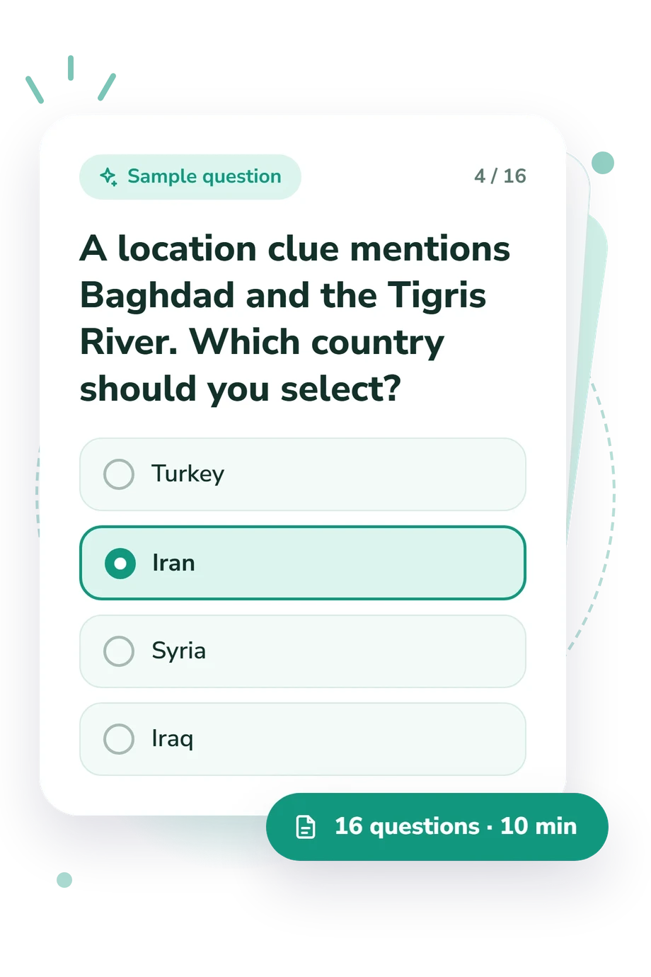
Each item gives a geographic clue and four answer choices. Respondents select the country that fits a capital, river, border, coastline, peninsula, or route. The format tests recognition and relational recall.
Scoring compares each response with the answer key and reports correct answers within the quiz’s stated scope. Middle East Map Knowledge runs from 0-16, with Foundations to Build (0-6), Developing Map Knowledge (7-12), and Strong Map Knowledge (13-16).
The approach is conceptually consistent with Eve, Price, and Counts (1994), whose study treated geographic knowledge through cultural, spatial, and map-reading tasks. It also aligns with Cross (1987), which examined students’ place-location knowledge. This questionnaire is not presented as an adaptation of either published instrument. The geographic relationships tested here make this Middle East geography quiz useful for focused review. No published norms, reliability estimates, or validation sample are reported for the online questionnaire. Because this Middle Eastern map quiz samples a defined set of clues, its result can vary with schooling, travel, recent study, attention, and clue wording; the bands describe performance on this set rather than universal geographic ability.
- Eve, Raymond A., Bob Price, and Monika Counts. "Geographic Illiteracy among College Students." Youth & Society, vol. 25, no. 3, 1994, pp. 408-427. 10.1177/0044118X94025003006
- Cross, John A. "Factors Associated with Students' Place Location Knowledge." Journal of Geography, vol. 86, no. 2, 1987, pp. 59-63. 10.1080/00221348708979457
Updated: