
India Map Quiz
How the Scales are Structured
Who Usually Takes This Test?
See How You Compare
Below is a preview of how scores are typically distributed across each scale.
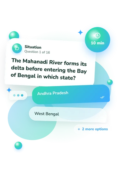
Example Questions From the Test
- Andhra Pradesh
- West Bengal
- Odisha
- Tamil Nadu
- Bay of Bengal
- Laccadive Sea
- Arabian Sea
- Indian Ocean
- Kerala
- Karnataka
- Tamil Nadu
- Goa
India Map Quiz - Description and methodology of the test
For people who want to check their knowledge of India’s geography, the India Map Quiz offers a focused look at how they connect places, boundaries, and physical features across the country. It works as an Indian states quiz for anyone seeking a practical snapshot of location knowledge. The result places overall map knowledge in a band and can indicate whether broader geography review may help.
What This Assessment Explores
Rather than testing capitals alone, the assessment asks you to connect states, coastlines, rivers, neighboring countries, islands, and physical regions. The state-location questions check whether geographic clues can be matched with the correct place on India’s map, making this a practical states of India quiz.
India Map Knowledge spans 0-16, with the displayed bands defined as follows:
- Emerging (0-6) means you recognize some major features but may need review of regional layout, coasts, and neighbors.
- Developing (7-12) means you place many important locations while retaining gaps in spatial relationships or physical geography.
- Strong (13-16) means you show a reliable grasp of India’s regions, neighboring countries, and major geographic features.
Together, these tasks reflect practical map knowledge rather than general intelligence or complete geographic mastery.
Methodology and Evidence Base
Each item presents a geographic clue followed by four answer choices. Rivers, seas, coastlines, borders, islands, deserts, valleys, and directional relationships require the respondent to select the location that best fits, making this a structured, selected-response geography task.
The India states quiz reports one displayed score on the India Map Knowledge scale with the shown bands. Familiarity with Indian geography, guessing, and current attention can affect this snapshot.
The design is conceptually consistent with Dunn (2011), which connects location knowledge with spatial thinking and geography education. Huynh and Sharpe (2013) show how structured tasks can examine geospatial thinking expertise, while the National Research Council (2006) describes spatial thinking through locations, relationships, and geographic representations. These sources support the educational framework, but this questionnaire is not presented as an adaptation of their instruments.
This India states map quiz helps interpret the overall map-knowledge band and decide whether broader geography review would be useful. Overall, the result indicates performance on this set rather than complete geographic expertise, so map practice remains useful.
- Dunn, James M. (2011). Location Knowledge: Assessment, Spatial Thinking, and New National Geography Standards. Journal of Geography, 110(2), 81-89. 10.1080/00221341.2010.511243
- Huynh, Niem Tu, and Bob Sharpe. (2013). An Assessment Instrument to Measure Geospatial Thinking Expertise. Journal of Geography, 112(1), 3-17. 10.1080/00221341.2012.682227
- National Research Council. (2006). Learning to Think Spatially: GIS as a Support System in the K-12 Curriculum. Washington, DC: The National Academies Press. 10.17226/11019