
Chinese Provinces Quiz
How the Scales are Structured
Who Usually Takes This Test?
See How You Compare
Below is a preview of how scores are typically distributed across each scale.
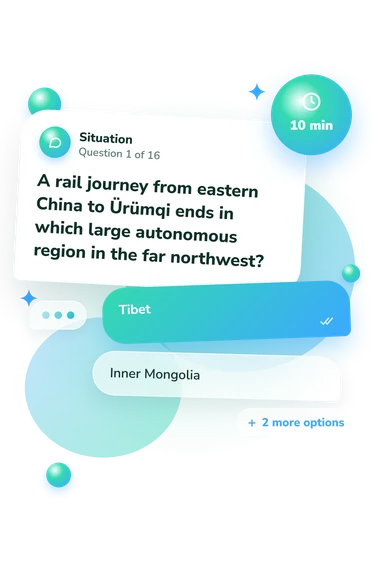
Example Questions From the Test
- Tibet
- Inner Mongolia
- Xinjiang
- Guangxi
- Shanxi
- Henan
- Shaanxi
- Gansu
- Shanxi
- Henan
- Shandong
- Hebei
Chinese Provinces Quiz - Description and methodology of the test
People who want to check their working knowledge of China’s regional geography can use the Chinese Provinces Quiz as a map-and-place exercise. It suits travelers, students, educators, and curious learners who want to connect provincial names with capitals, borders, landmarks, and autonomous regions. Its china map quiz format gives an overall knowledge band and may point to broad areas for review.
What This Test Measures
These questions measure geographic recognition, not broad cultural expertise. They identify a province or autonomous region from clues involving capitals, coastlines, neighboring countries, landmarks, river routes, or destinations. Presented as a china provinces quiz, it checks how place names connect to map locations.
The result is an overall snapshot of geographic recall, with a band indicating broad knowledge level rather than separate topic scores.
The displayed scale is:
- Chinese Provinces Knowledge (0-16) measures recognition of provincial and autonomous-region locations, capitals, landmarks, and related connections.
- Building Foundations (0-6) indicates recognition of major places while regional locations, capitals, and the five autonomous regions may need reinforcement.
- Developing Knowledge (7-12) shows a useful geographic framework while less familiar borders and province-city links remain opportunities for review.
- Strong Knowledge (13-16) indicates accurate connections among most provinces and autonomous regions, capitals, landmarks, and locations.
Methodology and Evidence Base
Most items present a geographic prompt followed by four answer choices, asking the respondent to select the option matching the clue. One item instead asks for the complete list of China’s autonomous regions. Together, the format is a provinces of china quiz covering both provinces and autonomous regions. This format tests recognition without requiring written answers, while results are reported through the displayed bands; the questionnaire does not state how many points any individual response contributes.
The content is conceptually consistent with the provincial map and capitals documented by Jacka, Kipnis, and Sargeson (2013), the official 2014 administrative-division information issued by China’s State Council, and geographic relationships discussed by Wang, Liang, and Shi (2022). This online questionnaire is not a standardized instrument and has no published norms or validation data for this exact set of questions.
Performance in this china provinces map quiz rewards accurate links among places, capitals, borders, and landmarks. Performance may also reflect travel, classroom exposure, language familiarity, and clue wording, so the score describes current recall in this format rather than permanent ability. The result is educational rather than an official geographic qualification.
- Jacka, Tamara, Andrew B. Kipnis, and Sally Sargeson. 2013. "Map 0.1: China's provinces and provincial capitals." In Contemporary China, pp. xiii-xiv. Cambridge University Press. 10.1017/CBO9781139196178.001
- The State Council of the People's Republic of China. 2014. "Administrative Division."
- Wang, Jing'ai, Shunlin Liang, and Peijun Shi. 2022. The Geography of Contemporary China. Springer Cham. 10.1007/978-3-031-04158-7