
Ancient Greece Map Quiz
How the Scales are Structured
Who Usually Takes This Test?
See How You Compare
Below is a preview of how scores are typically distributed across each scale.
Example Questions From the Test
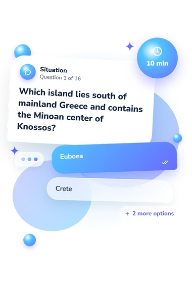
- Euboea
- Crete
- Corcyra
- Thasos
- Sicily and the southern Italian peninsula
- The coastal regions surrounding the Hellespont
- The islands off the western coast of Anatolia
- The northern and eastern shores of the Black Sea
- Argolis
- Attica
- Phocis
- Elis
Ancient Greece Map Quiz - Description and methodology of the test
Readers who want to place ancient Greek communities on a real landscape can use this assessment to check geographic understanding rather than memorize isolated names. The Ancient Greece Map Quiz suits students, history enthusiasts, and anyone revisiting the Aegean world through maps. This Greece map quiz turns location knowledge into an overall indication of map knowledge and areas where review may help.
What This Assessment Explores
Questions connect mainland Greece, the Peloponnese, the Aegean, Anatolia, southern Italy, and nearby islands. They cover regions, cities, islands, routes, and landforms, emphasizing spatial relationships rather than dates or general historical trivia.
The questions in this ancient Greek map quiz show how consistently you connect locations with their surrounding geography, including what lies north, south, inland, or across a strait.
The result appears on the Ancient Greece Knowledge scale, scored from 0-16. Its three bands are:
- Foundations to build (0-6) shows that key regions and spatial relationships are not yet consistent.
- Developing map knowledge (7-12) means many major locations are familiar, with gaps in routes, islands, or regional placement.
- Strong map knowledge (13-16) indicates accurate connections between most major ancient Greek locations and wider geography.
Methodology and Evidence Base
Each item presents a geography prompt with four answer choices. You select the location, region, route, or landform that best matches it; examples include placing Ionian cities on Anatolia, identifying the Corinthian isthmus, and locating islands by direction. The format tests map reasoning alongside recognition of names.
Each correct response earns one point, producing the displayed total score. Across this ancient Greek geography quiz, the bands describe increasing consistency and can show whether review should focus on regional structure or finer links among routes, islands, and cities.
The Barrington Atlas is the closest geographic reference for the locations and spatial relationships represented. Talbert's atlas offers broader historical context for the ancient Greek and Roman world, while Boardman's account helps contextualize overseas settlements and movement. The questionnaire is conceptually consistent with these geographic references, but is not an adaptation of them. They support the geographic content and do not establish psychometric validation; performance can vary with recall, prior study, and attention.
Overall, the result is a broad knowledge check that can guide map review and historical self-reflection.
- Talbert, Richard, Lindsay Holman, and Benet Salway, eds. Atlas of Classical History: Revised Edition. 2nd ed. Routledge, 2023. 10.4324/9781003125228
- Talbert, Richard J. A., ed. Barrington Atlas of the Greek and Roman World. Princeton University Press, 2000.
- Boardman, John. The Greeks Overseas: Their Early Colonies and Trade. 4th ed. Thames & Hudson, 1999.