
4.4 Comprehension Quiz
How the Scales are Structured
Who Usually Takes This Test?
See How You Compare
Below is a preview of how scores are typically distributed across each scale.
Example Questions From the Test
- A provincial boundary within Canada
- An international boundary between two countries
- A boundary between a province and a Canadian territory
- A municipal boundary within one province
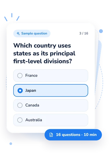
- France
- Japan
- Canada
- Australia
- A federal territory outside Canada
- The country containing Canada
- The province containing Toronto
- The municipal district containing all Canadian capitals
4.4 Comprehension Quiz - Description and methodology of the test
For learners connecting classroom geography with everyday addresses and travel, the 4.4 Comprehension Quiz offers a focused check of major administrative divisions. It suits students and independent learners who want to clarify how countries organize states, provinces, and territories. The questions make it a useful geography knowledge quiz for reviewing these terms and relationships in practical contexts.
What This Assessment Explores
Questions identify states, provinces, and territories within countries, distinguish them from municipalities and international borders, and apply the terms to addresses, travel, laws, and capitals. Because scenarios use addresses, travel, and government examples, the items make this administrative divisions assessment a practical reasoning task, not isolated place-name recall.
These contexts show the scale's practical applications:
- Administrative status shows whether a place is a state, province, territory, or another government level.
- Boundary reasoning identifies whether travel crosses an internal or international border.
- Address interpretation links a city with its province or state and country.
- Government scope indicates whether a rule is local, regional, or national.
The single States and Provinces Knowledge scale ranges from 0-16. Foundation (0-6) reflects partial recognition and a need for review; Developing (7-12) shows the main distinctions with some gaps; Strong (13-16) indicates consistently accurate practical knowledge.
Methodology and Evidence Base
Each item presents a statement or geographic scenario with four answer choices. Selecting the best response tests recognition and application of terminology, not opinion or self-rating. Correct responses are summed into one total, with one point for each correct answer, so the result reflects performance on these items.
The geography topics are conceptually consistent with the states-and-provinces content in TRUE+WAY ASL Level 1, but this questionnaire is not an adaptation of that workbook. Research on beginning ASL assessment and United Nations terminology guidance provide context only for instructional assessment and country and area names; the questionnaire's scoring comes from its own item responses.
Because this geography comprehension assessment asks for applied distinctions, interpretation is descriptive: a higher total means more tested distinctions were answered correctly. Performance can vary with wording comprehension, previous instruction, memory, attention, and current knowledge, so the result is a snapshot of this content area rather than a complete measure of geographic knowledge.
- Bryant, Ritchie R., Lisa Gelineau, Tracy Shannon, Raychelle L. Harris, and Nathie L. Marbury. (2017). TRUE+WAY ASL: Level 1 student e-workbook (Units 1-4). Austin, TX: Purple Moontower.
- Buchanan, B. J., Pirone, J. S., Pudans-Smith, K. K., Leffler, B. W., Cohen, B. S., Simmons, P. K., Ballentine, P. M., Venable, T., and Soza, K. (2023). American Sign Language level 1 assessment: What is out there? Foreign Language Annals, 56(4), 912-926. 10.1111/flan.12717
- United Nations Statistics Division. (1999). Standard country or area codes for statistical use (Series M, No. 49, Rev. 4). New York: United Nations. ISBN 92-1-061175-6.