
West Asia Map Quiz
How the Scales are Structured
Who Usually Takes This Test?
See How You Compare
Below is a preview of how scores are typically distributed across each scale.
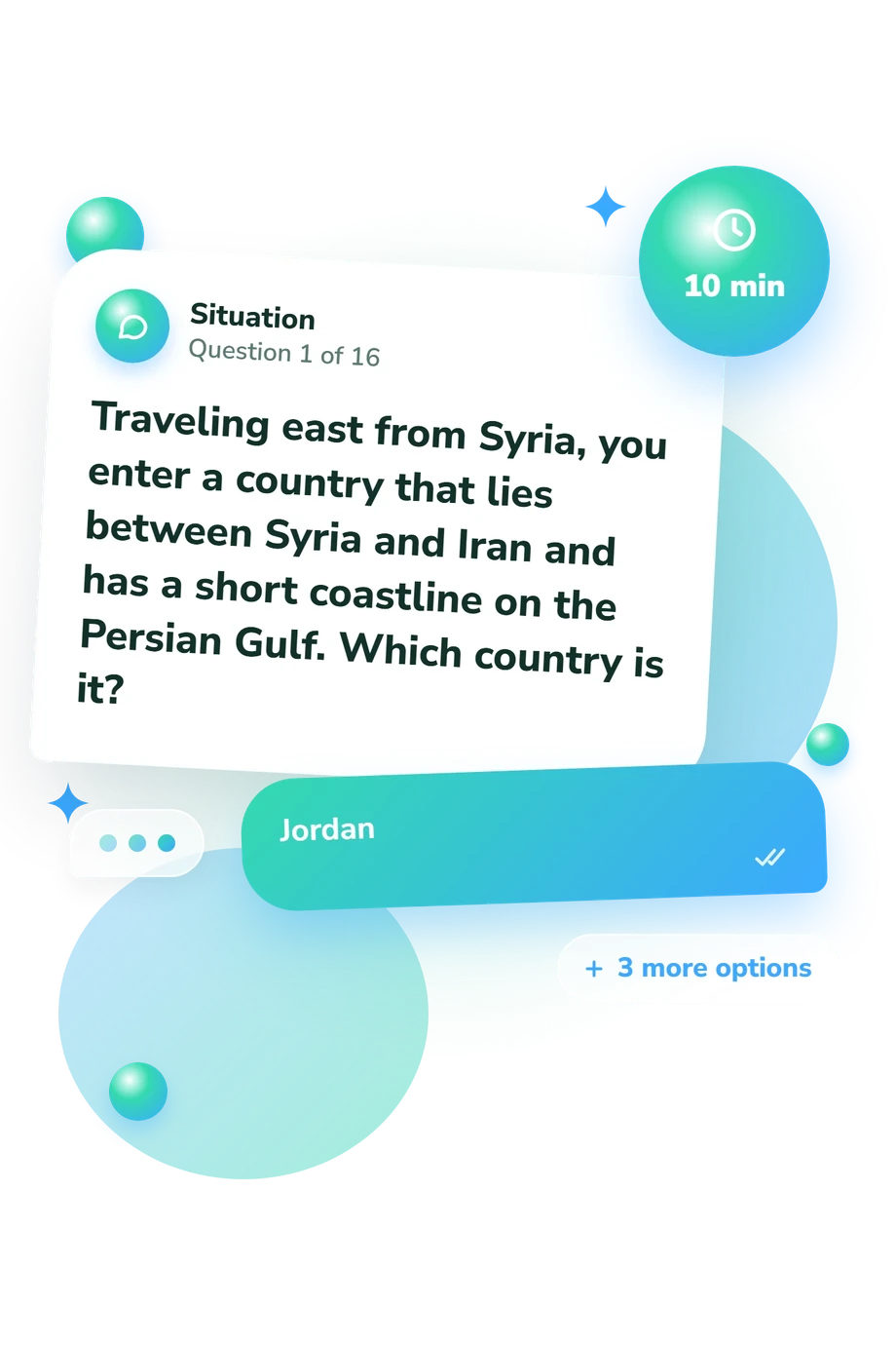
Example Questions From the Test
- Bahrain
- United Arab Emirates
- Qatar
- Kuwait
- Qatar
- Kuwait
- Bahrain
- Oman
- Oman
- Saudi Arabia
- Jordan
- Yemen
West Asia Map Quiz - Description and methodology of the test
For students, travelers, teachers, and curious learners, this assessment offers a focused way to check how accurately they can identify locations from regional geography rather than recall isolated names. In practice, the West Asia Map Quiz turns familiar map relationships into an accessible self-check. For learners reviewing the region, the activity is a western Asia map quiz that helps identify which neighboring countries, coastlines, and peninsulas deserve more practice.
What This Assessment Explores
Questions measure practical location knowledge across West Asia. Each clue asks the respondent to infer a country or territory from position, borders, seas, gulfs, islands, or peninsulas. The format suits learners revising regional geography and anyone checking whether a mental map is becoming more precise.
The result uses one knowledge scale and three performance bands:
- West Asia Map Knowledge (0-16) reflects correct answers in the location quiz.
- Starting Bearings (0-6) means some major features are recognized, with coastlines and neighbors to review.
- Developing Map Knowledge (7-12) shows many countries placed correctly, with some border relationships to refine.
- Strong Map Knowledge (13-16) indicates accurate inference from detailed geographic clues.
A result describes performance on these clues, not personality, political attitudes, or general intelligence. Taken as a West Asia geography quiz, the activity focuses on map knowledge rather than broader expertise.
Methodology and Evidence Base
Each item presents a short geographic scenario and four answer choices. The respondent selects the country or location that best fits clues about neighbors, seas, gulfs, islands, or peninsulas. The items require geographic inference from verbal clues, while the reported result reflects correct answers and map knowledge rather than a separate measure of spatial reasoning.
Scoring is reported through a scale that reflects correct answers. The bands provide descriptive quiz feedback rather than population-based standards, showing map knowledge at different levels.
Geographic naming and regional framing are conceptually consistent with the United Nations M49 standard, while Anderson and Bhattarai and Yousef supply complementary geography and geopolitical context. These works are geographic reference sources only; the questionnaire is not an adaptation of them, and their publications do not validate its scoring.
Interpretation should remain practical. As a West Asia map test, performance may vary with prior study, language familiarity, recent map exposure, and how a respondent reads a clue. Use mistakes to guide review of neighbors, coastlines, and easily confused locations.
- United Nations Statistics Division. Standard Country or Area Codes for Statistical Use (M49), Series M, No. 49. New York: United Nations, 1999.
- Bhattarai, Keshav, and Mahmoud Yousef. The Middle East: Past, Present, and Future. World Regional Geography Book Series. Cham: Springer, 2025. 10.1007/978-3-031-83967-2
- Anderson, Ewan W. Middle East: Geography and Geopolitics. 8th ed. London: Routledge, 2000.
Updated: