
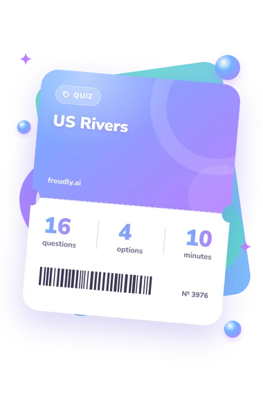
US Rivers Quiz
How the Scales are Structured
Who Usually Takes This Test?
See How You Compare
Below is a preview of how scores are typically distributed across each scale.
Example Questions From the Test
- Brazos River
- Rio Grande
- Colorado River
- Pecos River
- Hudson River
- Connecticut River
- Delaware River
- Susquehanna River
- Gulf of Mexico
- Atlantic Ocean at Chesapeake Bay
- Pacific Ocean
- Great Salt Lake
US Rivers Quiz - Description and methodology of the test
For travelers, students, and geography enthusiasts, the US Rivers Quiz offers a focused way to check how confidently you connect major waterways with the places they shape. The verbal format makes this U.S. river geography test a check of U.S. river and physical-geography knowledge, while the overall result places performance in a broad knowledge band. The result gives you a practical starting point for deciding what to review next.
What This Assessment Explores
The questions test practical knowledge of major waterways rather than isolated name recall. Travel and navigation situations identify rivers through cities, boundaries, confluences, outlets, and landmarks such as the Grand Canyon. Its format, a rivers of the United States quiz, connects waterways with geographic settings, so each answer links a river to a real location.
It examines regional placement, flow direction, boundary roles, river junctions, and links between basins and outlets. The focus suits people learning, reviewing, or checking their knowledge of U.S. river geography.
The sole displayed scale is US Rivers Knowledge, scored from 0-16. Its result bands are:
- River Explorer (0-6) indicates recognition of some waterways and a need to review routes, tributaries, and regions.
- Developing Navigator (7-12) shows a useful foundation for connecting rivers with surrounding geography.
- Waterway Expert (13-16) reflects strong knowledge of rivers, confluences, drainage patterns, and landmarks.
Methodology and Evidence Base
Each item presents a geographic scenario with four answer choices. The respondent selects the river, confluence, boundary, or destination that completes the statement. Scoring is direct: each correct answer adds one point to the knowledge score, with no stated weighting or penalty for an incorrect response.
The content is conceptually consistent with NAEP Geography Assessment (Weiss et al., 2002), which emphasizes places, spatial relationships, and physical systems. The National Assessment Governing Board’s geography framework offers a structure for connecting facts with patterns and processes. Benke and Cushing’s work on North American rivers supports the focus on networks, drainage, tributaries, confluences, and outlets; this questionnaire is consistent with those ideas, not an adaptation of that work.
Interpreted as a US river knowledge test, the result is best read as a self-check of geographic recall. The online version presents descriptive bands rather than population norms and is not presented as a standardized instrument. Results may reflect regional experience, prior study, reading of scenarios, and guessing, so the score describes performance on this item set rather than a fixed ability.
- Andrew R. Weiss, Anthony D. Lutkus, Barbara S. Hildebrant, and Matthew S. Johnson. The Nation's Report Card: Geography 2001. NCES 2002-484. National Center for Education Statistics, U.S. Department of Education, 2002.
- National Assessment Governing Board. Geography Framework for the 1994 and 2001 National Assessment of Educational Progress. Washington, DC: National Assessment Governing Board, 1994.
- Arthur C. Benke and Colbert E. Cushing. Background and Approach. In Rivers of North America, pp. xxiv-18. Academic Press, 2005. 10.1016/B978-012088253-3/50004-3.