
Southwest Asia Map Quiz
How the Scales are Structured
Who Usually Takes This Test?
See How You Compare
Below is a preview of how scores are typically distributed across each scale.
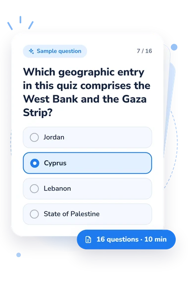
Example Questions From the Test
- Kuwait
- Cyprus
- Bahrain
- Qatar
- Iraq
- Iran
- Oman
- Turkey
- Bahrain
- Lebanon
- Cyprus
- Qatar
Southwest Asia Map Quiz - Description and methodology of the test
Readers who want to check their regional geography can use the Southwest Asia Map Quiz to identify which parts of their knowledge are secure and which deserve another look. As a Southwest Asia quiz, it suits learners reviewing a map, students refreshing place knowledge, or anyone preparing for a geography class. The result offers a practical starting point for targeted review.
What This Assessment Measures
The questionnaire measures practical regional location knowledge: identifying a country or geographic entity from its position, neighbors, coastline, sea, peninsula, or island setting. Its written-clue format emphasizes relationships among places rather than isolated names, making it suitable for students and independent learners who want to build or check a regional map framework.
The main geographic themes are:
- Arabian Peninsula clues show how you place regional locations by location and neighboring states.
- Persian Gulf items test recognition of island states, peninsulas, federations, and coastal countries.
- Eastern Mediterranean clues distinguish nearby locations through coastlines and borders.
- Regional patterns connect individual locations with broader subregions.
For someone taking this regional map knowledge test, the result is a text-based knowledge score, not an interactive-map performance. Southwest Asia Map Knowledge spans 0-16: Building the map (0-6), Developing orientation (7-12), and Strong map knowledge (13-16).
Methodology and Evidence Base
Each item gives a short geographic clue and four answer choices. Respondents identify a location from a coastline, border, sea, peninsula, or subregional position, so this written geography quiz assesses location knowledge through correct answers rather than performance on an interactive map. Political-geography content appears through borders, neighboring states, and the placement of countries and geographic entities.
Scoring is the number of correct responses, and the result is interpreted through the displayed bands. Results describe current knowledge at the time of testing; performance may also reflect prior exposure, terminology, reading comprehension, or guessing.
The geographic content is consistent with the CIA’s regional map and Berglee’s regional-geography treatment, which describe the countries, coastlines, borders, and subregions used by these clues. The questionnaire is conceptually consistent with those references, but is not presented as an adaptation, validation study, or reproduction of them.
Use the result to choose review topics such as Gulf states, border sequences, coastlines, or smaller-country placement; a later attempt can show change in performance over time, although repeated exposure to the questions may influence the result.
- Gregorio, Aline, Nazanin Naraghi, Jason Scott, and Waverly Ray. "Southwest Asia and North Africa." In World Geographies: A Critical Introduction. ASCCC OERI Program, 2023.
- United States. Central Intelligence Agency. Southwest Asia. Washington, D.C.: Central Intelligence Agency, 1986. Map. Library of Congress Geography and Map Division.
- Berglee, Royal. World Regional Geography: People, Places and Globalization. University of Minnesota Libraries Publishing, 2016. 10.24926/8668.2701