
Asia and Oceania Map Quiz
How the Scales are Structured
Who Usually Takes This Test?
See How You Compare
Below is a preview of how scores are typically distributed across each scale.
Example Questions From the Test
- New Zealand
- Papua New Guinea
- Fiji
- Australia
- The Maldives
- Bangladesh
- Nepal
- Sri Lanka
- Laos
- Cambodia
- Myanmar
- Malaysia
Asia and Oceania Map Quiz - Description and methodology of the test
People who want to connect country names with real positions can use the Asia and Oceania Map Quiz to check practical geographic knowledge rather than memorized labels alone. It suits learners, travelers, and curious adults who want Asian geography questions about borders, islands, neighboring seas, and directional relationships. The result shows current accuracy when interpreting location clues across the region.
What This Assessment Explores
The questionnaire measures recognition of countries and island states through positions, borders, seas, and neighboring territories. It spans Asia, Australia, New Zealand, and the Pacific, serving readers who want practical regional knowledge rather than isolated names.
As a map quiz for Southeast Asia and Oceania, it highlights mainland borders, island chains, straits, and compass directions. Each clue combines relationships that help identify a place.
The result brings together these three abilities:
- Country placement shows whether a clue leads to the correct national territory.
- Island recognition shows whether nearby Pacific states are distinguished accurately.
- Border reasoning shows whether neighbors, seas, and directions narrow the answer.
Asia and Oceania Geography Knowledge runs from 0-16: Foundations (0-6) signals basic recognition needing review; Developing (7-12) shows useful knowledge with less familiar subregions to strengthen; Strong (13-16) indicates accurate interpretation of most textual clues.
Methodology and Scientific Basis
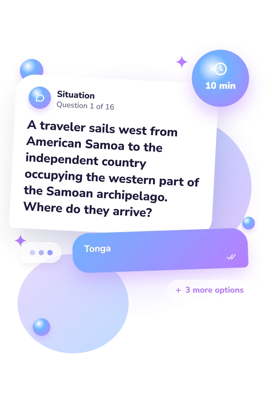
Each item presents a short scenario or direct location clue with four country options. The respondent selects one answer, and every correct response adds one point. The format tests recall together with relational reasoning: solving may depend on a border, strait, island chain, or compass direction rather than a name alone.
The Pacific geography questions distinguish island countries by relative position and neighboring states. The scoring belongs to this online questionnaire and is a straightforward total of correct answers, not a conversion from a published instrument.
Dunn (2011) is the closest conceptual reference because it treats location knowledge as identifying and relating places. This questionnaire is conceptually consistent with that discussion, but it is not a standardized administration or adaptation of a published instrument. Its regional framing also aligns with the standards edited by Heffron and Downs (2012) and the comparative approach in Johnson, Haarmann, and Johnson (2021).
Performance can vary with schooling, travel, recent study, familiarity with English place names, and multiple-choice guessing. The result is therefore a snapshot of current knowledge; its bands are practical guideposts, not population norms.
- Dunn, James M. 2011. "Location Knowledge: Assessment, Spatial Thinking, and New National Geography Standards." Journal of Geography 110, no. 2: 81-89. 10.1080/00221341.2010.511243.
- Heffron, Susan Gallagher, and Roger M. Downs, eds. Geography for Life: National Geography Standards, Second Edition. Washington, DC: National Council for Geographic Education, 2012. ISBN 978-1-884136-41-2.
- Johnson, Douglas L., Viola Haarmann, and Merrill L. Johnson. World Regional Geography: A Development Approach. 11th ed. Pearson, 2021. ISBN 978-0-13-761269-7.
Updated: