
US and Canada Map Quiz
How the Scales are Structured
Who Usually Takes This Test?
See How You Compare
Below is a preview of how scores are typically distributed across each scale.
Example Questions From the Test
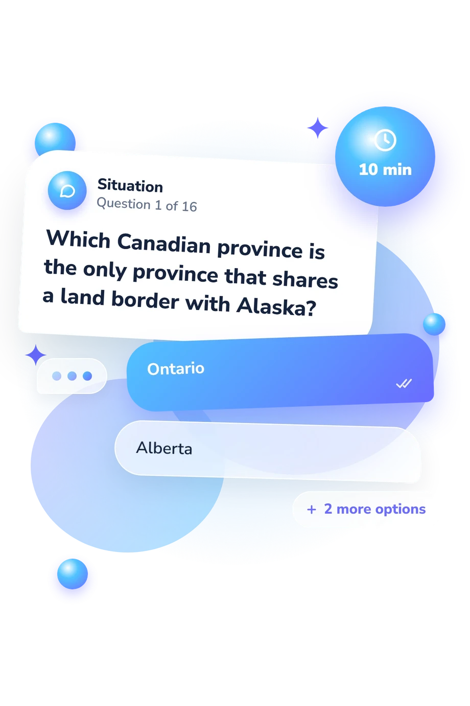
- Ontario
- Alberta
- British Columbia
- Newfoundland and Labrador
- British Columbia, Alberta, Saskatchewan, Manitoba
- Alberta, British Columbia, Manitoba, Saskatchewan
- Saskatchewan, Alberta, Manitoba, British Columbia
- Manitoba, Saskatchewan, British Columbia, Alberta
- Alberta
- Saskatchewan
- New Brunswick
- Ontario
US and Canada Map Quiz - Description and methodology of the test
People who want a practical check can use this US and Canadian geography quiz to see how confidently they place locations across both countries. The result suits learners, travelers, teachers, and anyone reviewing map-based knowledge rather than memorizing isolated names. Presented as the US and Canada Map Quiz, it connects factual recall with borders, waterways, and spatial relationships, giving readers a clear starting point for focused geography review.
What This Assessment Explores
The questions represent several content areas; together, they contribute to one overall result.
These areas describe what the questions cover, not separate scores:
- Administrative-region questions show how accurately you place states and provinces on the map.
- Northern-geography questions show how clearly you locate Canadian territories and remote regions.
- Borders-and-crossings questions reveal how you understand neighboring jurisdictions and international boundaries.
- Waterway and spatial-relationship questions show how lakes, rivers, straits, and directions fit together geographically.
Taken together, these questions mean that this USA and Canada map quiz reports one displayed scale: US and Canada Map Knowledge (0-16). Building Foundations (0-6) suggests basic familiarity; Developing Map Knowledge (7-12) indicates a useful framework still needing refinement; Strong Map Knowledge (13-16) reflects well-developed location knowledge.
Methodology and Evidence Base
Each item is a multiple-choice geographic prompt with four answer choices. One point is awarded for each correct response, creating a total score.
Dunn's work on location knowledge and spatial thinking offers a relevant conceptual comparison for this questionnaire. This questionnaire is conceptually consistent with that work, but it remains a separate online quiz rather than a documented adaptation of Dunn's instrument. Friedman et al.'s work on geographic location judgments offers broader context for how people estimate geographic position, while the National Geographic-Roper survey provides context about geographic literacy; neither source establishes scores for this questionnaire.
The displayed score for this US and Canada geography quiz is descriptive: its bands describe performance on these 16 questions and are not presented as population norms or clinical cutoffs. Schooling, travel, regional familiarity, memory, guessing, and current attention can all influence performance. The total is compared with the three displayed performance bands, so the result can guide further geography review generally, but it is not a complete measure of geographic competence.
- Dunn, James M. (2011). Location Knowledge: Assessment, Spatial Thinking, and New National Geography Standards. Journal of Geography, 110(2), 81-89. 10.1080/00221341.2010.511243
- Friedman, Alinda, Dennis D. Kerkman, Norman R. Brown, David Stea, and Hector M. Cappello (2005). Cross-cultural similarities and differences in North Americans' geographic location judgments. Psychonomic Bulletin & Review, 12(6), 1054-1060. 10.3758/bf03206443
- RoperASW (2002). National Geographic-Roper 2002 Global Geographic Literacy Survey. Report C510007671. Washington, DC: National Geographic Education Foundation.
Updated: