
7 Continents Quiz
How the Scales are Structured
Who Usually Takes This Test?
See How You Compare
Below is a preview of how scores are typically distributed across each scale.
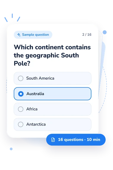
Example Questions From the Test
- Asia
- Australia
- South America
- Africa
- South America
- Australia
- Africa
- Antarctica
- Europe
- Africa
- South America
- Asia
7 Continents Quiz - Description and methodology of the test
Readers who want to check or strengthen world geography can use this assessment to connect places with the continents they belong to. The 7 Continents Quiz focuses on practical geographic reasoning rather than memorizing isolated names, so the result can show where knowledge is secure and which relationships deserve another look. As a quiz about the continents of the world, it suits learners, families, and teachers choosing topics for further practice.
What This Assessment Explores
These questions ask respondents to place continents using coastlines, oceans, mountains, deserts, coordinates, polar regions, and landmarks. They also examine conventional boundaries, including Europe-Asia, and Australia versus Oceania as a continent and wider regional term.
For a learner or adult revisiting geography, reviewing the result of a quiz about world continents alongside missed answers can show which topic needs attention. The 7 Continents Knowledge scale runs from 0-16 and measures correct connections among continents, locations, physical features, and regional relationships. Results are labeled Foundations to Build (0-6), Developing Knowledge (7-12), or Strong Knowledge (13-16).
The main themes are these:
- Location knowledge shows whether you can assign a place or landmark to the correct continent.
- Boundary knowledge reflects how accurately you handle conventional continental divisions.
- Physical geography links show whether mountains, deserts, oceans, and poles match the right region.
Methodology and Evidence Base
Each item presents a geographic situation or direct question with four answer choices. The respondent selects the continent that best fits the location, boundary, landform, ocean, coordinate, or regional description. The displayed score counts correct answers.
As a continents quiz for kids, the four-choice format supports guided learning, while adults can use the assessment as a refresher.
The questionnaire uses the conventional seven-continent model, and its content is conceptually consistent with Ritter’s geographic framework. This questionnaire is not an adaptation of that work.
Its educational approach is conceptually consistent with work by Solem and colleagues on spatial relationships and by Lane and Bourke on applying geographic knowledge. In this assessment, the result is a snapshot: its displayed bands describe performance on this item set rather than population norms or fixed ability thresholds.
Results may vary with instruction, naming conventions, attention, and chance; reviewing missed topics makes the result more useful than treating one band as fixed ability.
- National Geographic Society. 2026. National Geographic Map Policy.
- Ritter, Michael E. 2003. The Physical Environment: An Introduction to Physical Geography. 2nd ed.
- Solem, Michael, Joseph Stoltman, Rod Lane, Terri Bourke, Chew Hung Chang, and Kathrin Viehrig. 2018. An assessment framework and methodology for a Trends in International Geography Assessment Study (TIGAS). Geographical Education 31: 7-15.
- Lane, Rod, and Terri Bourke. 2019. Assessment in geography education: a systematic review. International Research in Geographical and Environmental Education 28 (1): 22-36. 10.1080/10382046.2017.1385348