
AP World Map Quiz
How the Scales are Structured
Who Usually Takes This Test?
See How You Compare
Below is a preview of how scores are typically distributed across each scale.
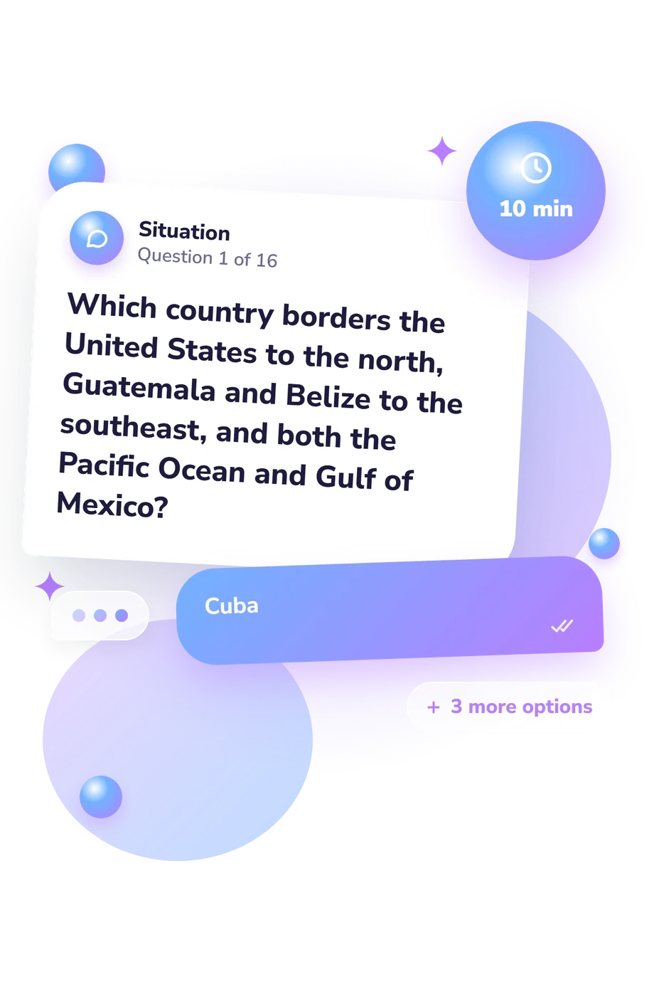
Example Questions From the Test
- Kenya
- Somalia
- Eritrea
- Ethiopia
- Taiwan
- The Philippines
- Japan
- Indonesia
- Indonesia
- Japan
- New Zealand
- The Philippines
AP World Map Quiz - Description and methodology of the test
Students preparing for AP classes can use the AP World Map Quiz to build a mental framework for placing political and physical features across the globe. For AP world history, this map quiz gives events, regions, and movement a clearer spatial setting. Its result gives a focused snapshot of location knowledge that can help connect classroom themes to the places where they unfold.
What This Assessment Measures
These items measure practical locational knowledge through geographic clues rather than isolated labels.
Respondents identify countries from borders, coastlines, neighbors, peninsulas, islands, and continental position, while also recognizing deserts, seas, rivers, canals, straits, and routes connecting regions.
Regional-location questions show whether a learner recognizes the anchors emphasized in AP world regions map quiz practice or confuses nearby countries and waterways. The result combines political and physical geography, so it describes the locations sampled here rather than all global knowledge.
Results are reported on the AP World Map Knowledge scale (0-16), based on these 16 textual geography questions:
- Foundational (0-6) suggests reviewing continents, regional anchors, and major bodies of water.
- Developing (7-12) reflects recognition of many locations, with neighboring countries and strategic waterways worth comparing.
- Strong (13-16) reflects a well-developed grasp of the sampled countries, regions, and routes.
Methodology and Evidence Base
Each prompt presents a short geographic description with four answer choices. By matching clues about borders, landforms, waterways, and routes to the best location, respondents engage in AP world history regions quiz practice with a concrete geography focus. The displayed result reflects performance on this fixed questionnaire.
Hagge's study examines country-location identification in geography learning. Reynolds and Vinterek's work addresses geographical locational knowledge and how learners organize their understanding of the world. This questionnaire is conceptually consistent with those works, not an adaptation of either study.
For AP world history, this questionnaire provides AP world history regions map quiz practice and can indicate whether historical study rests on a workable spatial framework. College Board materials supply curricular context through AP World History, but do not establish norms for this online questionnaire.
Wording familiarity, prior study, attention, and guessing may affect the outcome, so the result is descriptive feedback for choosing what to review next. Performance reflects only the countries, features, and clues sampled here, not all world geography or historical understanding.
- Hagge, Patrick D. “Find It on a Map: Country Location Identification in a University Geography Classroom, 2016-2022.” Journal of Geography, vol. 122, no. 5, 2023, pp. 105-114. 10.1080/00221341.2023.2224374
- Reynolds, Ruth, and Monika Vinterek. “Geographical Locational Knowledge as an Indicator of Children’s Views of the World: Research from Sweden and Australia.” International Research in Geographical and Environmental Education, vol. 25, no. 1, 2016, pp. 68-83. 10.1080/10382046.2015.1106205
- College Board. AP® World History: Modern Course and Exam Description, Effective Fall 2026. College Board, 2026.
Updated: