
Japan Prefectures Quiz
How the Scales are Structured
Who Usually Takes This Test?
See How You Compare
Below is a preview of how scores are typically distributed across each scale.
Example Questions From the Test
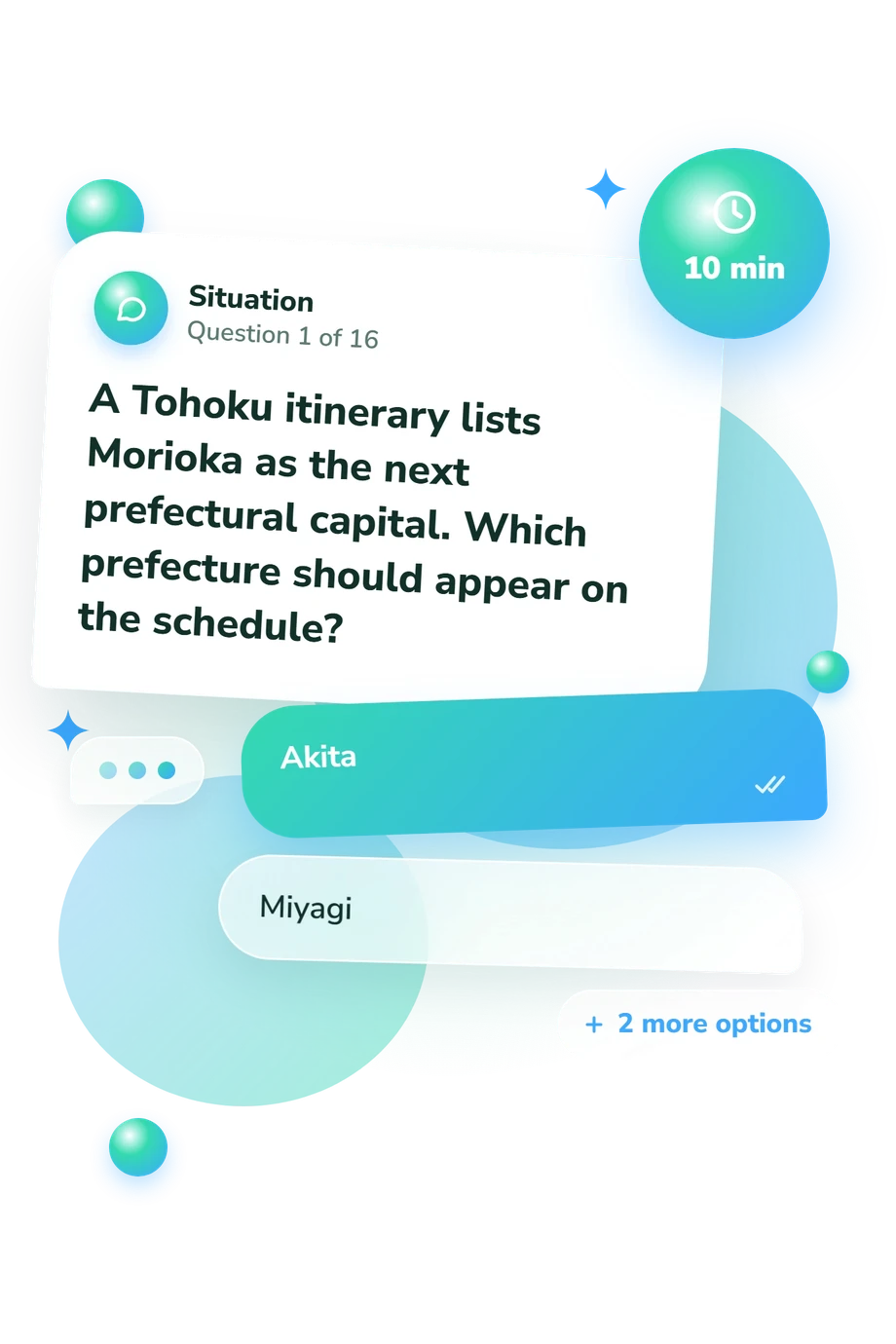
- Akita
- Miyagi
- Iwate
- Yamagata
- Fukushima
- Akita
- Yamagata
- Miyagi
- Hyogo
- Kyoto
- Nara
- Wakayama
Japan Prefectures Quiz - Description and methodology of the test
People who want to strengthen their knowledge of Japan’s regional layout can use the Japan Prefectures Quiz to connect place names with capitals, borders, and wider geographic groupings. It suits learners, travelers, and anyone testing practical recall rather than abstract facts. Its route-based prompts make it a Japanese prefectures quiz that links cities, borders, and regional groupings.
What This Assessment Explores
Rather than measuring travel experience, the questions form a Japan geography quiz focused on recognition. It connects prefectural capitals, neighboring areas, Japan’s eight-region framework, and familiar cities or landmarks with the jurisdictions they represent. These tasks show whether place names can be recalled in context.
The result is Japan Prefectures Knowledge, scored from 0-16 and shown as Foundations to Build (0-6), Developing Knowledge (7-12), or Strong Knowledge (13-16). The bands move from partial recognition to accurate distinction and regional application.
The four themes below explain the result:
- Capital recognition shows how securely you link major cities with their prefectures.
- Border and route questions show whether neighboring areas remain distinct in your mental map.
- Regional grouping shows how well you organize prefectures within the eight-region framework.
- Landmark clues show whether familiar destinations help you identify the correct jurisdiction.
Methodology and Evidence Base
Each item presents a short geographic prompt with four answer choices. The alternatives cover capitals, neighboring prefectures, regional membership, and jurisdictional clues, so success depends on both direct recall and recognizing geographic relationships. By asking where a route leads, the Japan map quiz tests geographic relationships in context.
Performance is summarized by one total score across the 16 questions, and its bands describe increasing knowledge from foundational recognition to accurate regional application. The questionnaire does not present a penalty, weighting, or percentage conversion.
The framework is conceptually consistent with Nihei and Kikuchi (2025), and with regional classifications described by Saito (2014), the Statistics Bureau’s 2025 handbook, and the Ministry of Foreign Affairs’ regional overview. This online quiz is not presented as an adaptation of any one source or as a standardized instrument with published norms.
Interpret the outcome as a snapshot from a structured online format. Travel, schooling, map use, or current interests may affect performance, and one result cannot capture every regional distinction. Reviewing missed capitals, borders, and groupings can turn the score into a focused learning plan.
- Nihei, Takaaki, and Toshio Kikuchi, eds. Regional Geography of Japan. Tokyo: Asakura Publishing, 2025.
- Saito, Tadamitsu. "Japan's National and Regional Areas and Prospects for New Wide-Area Administrative Districts." Journal of the Japan Cartographic Association 52, no. 2 (2014): 1-16. DOI 10.11212/jjca.52.2_1.
- Statistics Bureau, Ministry of Internal Affairs and Communications, Japan. Statistical Handbook of Japan 2025. Tokyo: Statistics Bureau, 2025. ISSN 0081-4792.
- Ministry of Foreign Affairs of Japan. Regions of Japan. Web Japan, n.d.
Updated: