
Italian Regions Quiz
How the Scales are Structured
Who Usually Takes This Test?
See How You Compare
Below is a preview of how scores are typically distributed across each scale.
Example Questions From the Test
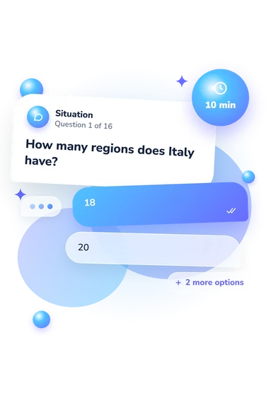
- 18
- 20
- 21
- 25
- Sicily and Sardinia
- Lazio and Campania
- Liguria and Emilia-Romagna
- Tuscany and Umbria
- Umbria
- Emilia-Romagna
- Lazio
- Tuscany
Italian Regions Quiz - Description and methodology of the test
Students, travellers, and curious learners can use this focused Italy geography quiz to connect Italian place names with the country’s regional structure. The Italian Regions Quiz is designed to show how confidently you identify capitals, provinces, boundaries, and broad geographic relationships. Its map-based questions use coastline, direction, and peninsula-shape clues alongside recall.
What This Assessment Explores
These items assess knowledge of Italy’s regional system rather than general intelligence. They ask respondents to link capitals with regions, place cities and provinces within the correct area, and infer location from coastlines, neighboring territories, and the peninsula’s shape. The questions combine recall with geographic reasoning.
The scale is Italian Regions Knowledge (0-16). It summarizes knowledge of regions, capitals, geographic relationships, and province-region connections. Its bands are:
- Foundations (0-6) indicates recognition of key places, with review still useful for the regional map and major capitals.
- Developing (7-12) indicates broad knowledge alongside gaps in boundaries or province-region associations.
- Strong (13-16) indicates consistently accurate knowledge applied to geographic clues and travel-style situations.
For someone taking a regions of Italy quiz, the band indicates a level and suggests whether broad review of the regional map or major capitals may be worthwhile.
Methodology and Scientific Basis
Each item presents a question with four answer choices. Prompts mix capital and region recall with route, coastline, city, and province clues, so performance reflects knowledge of Italian regional geography and how respondents use geographic clues.
Answers lead to the displayed scale and its bands. No weighting rule, norm group, or conversion procedure is stated; the result therefore describes performance on this questionnaire rather than a standardized national measure.
Dunn (2011) is the closest conceptual reference, treating location knowledge as an assessable part of geographic understanding. Lee and Bednarz (2012) distinguish knowing places from reasoning about spatial relationships. Istat’s codes and the Italian Constitution supply administrative reference points for regions, provinces, municipalities, and special-status distinctions.
Its limited scope makes it a focused Italy regions quiz, with questions on capitals, routes, cities, provinces, and administrative status. The questionnaire is conceptually consistent with that evidence base, not an adaptation of either published instrument.
Prior study, guessing, wording familiarity, travel experience, and unequal exposure to Italian geography can affect scores. Use the result as a focused learning profile; it does not identify specific knowledge gaps.
- Dunn, James M. “Location Knowledge: Assessment, Spatial Thinking, and New National Geography Standards.” Journal of Geography 110, no. 2 (2011): 81-89. 10.1080/00221341.2010.511243
- Lee, Jongwon, and Robert Bednarz. “Components of Spatial Thinking: Evidence from a Spatial Thinking Ability Test.” Journal of Geography 111, no. 1 (2012): 15-26. 10.1080/00221341.2011.583262
- Italian National Institute of Statistics (Istat). “Codes of Italian municipalities, provinces and regions.” 2010.
- Senate of the Republic. “The Constitution of the Republic of Italy.” 2nd English ed. Rome: Senate of the Republic, 2018.
Updated: