
Canada Capitals Quiz
How the Scales are Structured
Who Usually Takes This Test?
See How You Compare
Below is a preview of how scores are typically distributed across each scale.
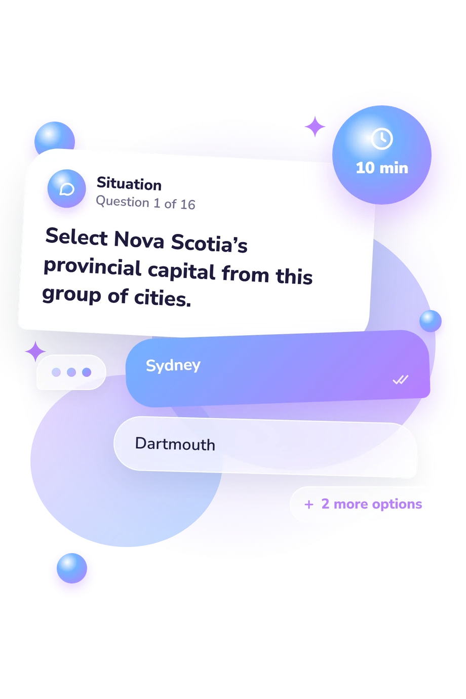
Example Questions From the Test
- Sydney
- Dartmouth
- Truro
- Halifax
- Vancouver
- Surrey
- Kelowna
- Victoria
- Saskatoon
- Regina
- Prince Albert
- Moose Jaw
Canada Capitals Quiz - Description and methodology of the test
Designed for learners, travelers, teachers, and anyone refreshing Canadian geography, this assessment checks whether you can connect provinces with their capitals and distinguish provincial government seats from Ottawa’s federal role. The Canada Capitals Quiz turns those relationships into a concise result showing how accurately you recognize official capitals and where a short review may help. It also offers useful practice in this Canada provinces and capitals quiz.
What This Assessment Explores
The questions test factual recognition. They ask you to identify a province’s capital, match a city with its province, distinguish Ottawa’s national role from Toronto’s provincial role, and use east-to-west relationships. Legislative references add context.
These dimensions describe what the quiz asks you to handle:
- Province-capital matching shows whether you can retrieve each province’s official government seat.
- Federal and provincial distinctions show whether you separate Ottawa’s national role from Toronto’s.
- Geographic ordering shows whether you can use east-to-west relationships, not isolated memorization.
- Canada Capitals Knowledge: 0-16 summarizes recognition of provincial capitals and related distinctions. Building Foundations (0-6) marks partial recognition; Developing Knowledge (7-12) shows many correct connections with gaps; Strong Knowledge (13-16) reflects accurate, wide-ranging knowledge.
For students, travelers, teachers, and curious adults, this Canadian capitals quiz offers a focused geography check.
Methodology and Evidence Base
Each item offers four answer choices and asks for one best response. The set mixes direct recall with scenarios about legislative buildings, travel planning, city-province pairings, and geographic sequence. Familiar cities must be separated from the official capital, while Ottawa must be understood as the federal capital rather than Ontario’s.
The result is reported on the single knowledge scale. This factual, self-administered multiple-choice format is not a psychological trait inventory. The factual anchor is the Government of Canada capital list; Natural Resources Canada political maps support geographic distinctions. These official references clarify the names, locations, and government roles addressed by the questions.
In this capitals of Canada quiz, the displayed bands are the quiz’s own recall categories for the knowledge shown by these items. Attention, memory, schooling, and familiarity with place names can affect performance, so the result describes demonstrated recall rather than a complete measure of geographical knowledge. Honest answering gives the clearest snapshot.
- Government of Canada, Intergovernmental Affairs. "Provinces and territories." Canada.ca. Accessed September 20, 2026.
- Government of Canada, Natural Resources Canada. "Reference maps: Atlas of Canada." Political maps published 2022. Accessed September 20, 2026.
- Royal Canadian Geographical Society. Canadian Geographic Atlas of Canada: The Story of a Country through Maps, Photographs, History and Culture. Introduction by John Geiger; foreword by Wade Davis. 1st ed. Glasgow: Collins; Ottawa: Royal Canadian Geographical Society, 2014. 304 pp. ISBN 9780007534678.
- R. Louis Gentilcore, ed. Historical Atlas of Canada: Volume II: The Land Transformed, 1800-1891. Toronto: University of Toronto Press, 1993. 184 pp. ISBN 0-8020-3447-0. 10.3138/9781442675759
Updated: