
WW2 Map Quiz
How the Scales are Structured
Who Usually Takes This Test?
See How You Compare
Below is a preview of how scores are typically distributed across each scale.
Example Questions From the Test
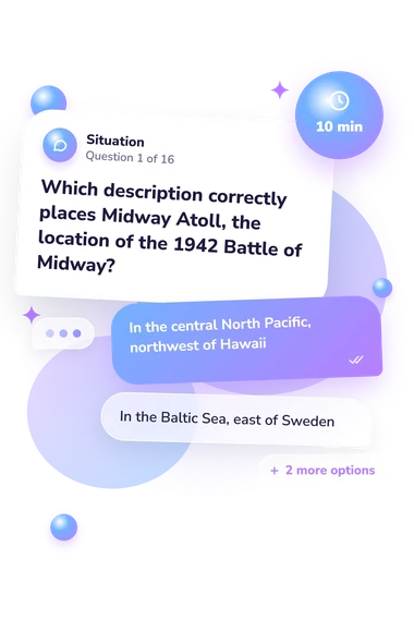
- In the central North Pacific, northwest of Hawaii
- In the Baltic Sea, east of Sweden
- In the Indian Ocean, east of Madagascar
- In the western Mediterranean, south of France
- Northward from Italy across the Alps into Germany
- Southward from Britain into France and Spain
- Westward from the Soviet Union into Scandinavia
- Eastward from German-controlled Europe into the Soviet Union
- North Sea
- Bay of Biscay
- English Channel
- Irish Sea
WW2 Map Quiz - Description and methodology of the test
For students, history enthusiasts, and anyone revisiting the geography of the Second World War, the WW2 Map Quiz offers a focused way to test whether places, theaters, and routes form a usable mental map. The world war 2 map quiz connects familiar battle names with the countries, coastlines, directions, and routes that gave them strategic meaning.
What This Assessment Explores
The questionnaire places wartime events in relation to coastlines, borders, seas, islands, cities, and routes. It spans European, Mediterranean, North African, Eastern Front, and Pacific theaters, making spatial relationships as important as recognizing campaign names. It suits learners and general readers who want to check historical map awareness.
Its single scale, WW2 Map Knowledge (0-16), summarizes these locations and relationships rather than every country or campaign. The three result bands are:
- Foundations to build (0-6) means some major locations are familiar, but theater boundaries and spatial relationships may remain unclear.
- Developing theater awareness (7-12) means many important campaigns are placed accurately, while cross-theater connections can grow.
- Strong map command (13-16) means key locations, routes, and geographic relationships are well understood.
European geography joins Pacific, North African, and Burma settings in this ww2 europe map quiz.
Methodology and Scientific Basis
Each item presents a geographic prompt with four answer choices. The prompts ask for relative position, present-day country, island group, waterway, or route; each response identifies the location that fits the event. Responses are summarized through the single displayed map-knowledge scale; the result is not a complete survey of wartime geography.
Historical atlases and official campaign histories provide factual geographic context, not psychometric validation, for this custom multiple-choice history assessment. The questionnaire is conceptually consistent with these works, but is not an adaptation of any one atlas. Cross-theater coverage places European locations alongside Pacific, North African, and Burma settings in this world war 2 europe map quiz.
The method is multiple-choice geographic knowledge and recognition involving relative position, routes, waterways, and present-day locations. The historical works support content, not standardization of this online questionnaire; the result is a snapshot shaped by current knowledge, wording, and familiarity with present-day place names. When a campaign name is known but its setting is not, the respondent’s wwii map quiz result on this questionnaire can suggest topics for further study.
- Martin H. Folly. The Palgrave Concise Historical Atlas of World War II. Basingstoke: Palgrave Macmillan, 2004, 131 pp. DOI 10.1057/9780230502390.
- John Pimlott. The Historical Atlas of World War II. New York: Henry Holt, 1995, 224 pp. ISBN 0-8050-3929-5.
- John C. Hatlem, Kenneth E. Hunter, and Margaret E. Tackley. The War Against Germany and Italy: Mediterranean and Adjacent Areas. Washington, DC: Office of the Chief of Military History, Department of the Army, 1951, 465 pp.
- Kenneth E. Hunter and Margaret E. Tackley. The War Against Japan. Washington, DC: Office of the Chief of Military History, Department of the Army, 1952, 471 pp.