
New England States and Capitals Quiz
How the Scales are Structured
Who Usually Takes This Test?
See How You Compare
Below is a preview of how scores are typically distributed across each scale.
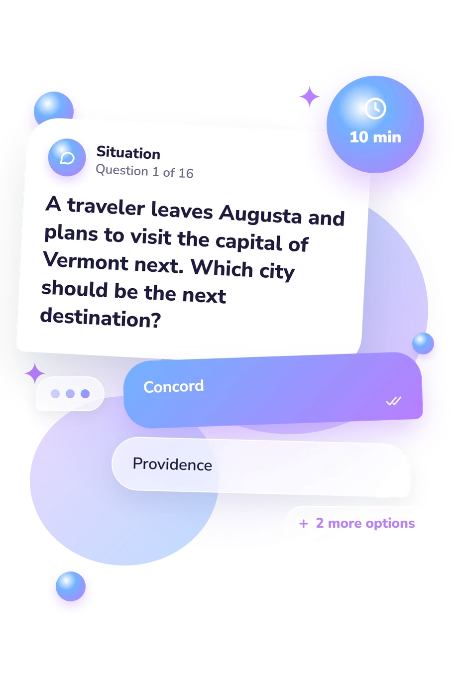
Example Questions From the Test
- Concord
- Providence
- Montpelier
- Hartford
- Rhode Island
- Massachusetts
- New Hampshire
- Connecticut
- Vermont
- New Hampshire
- Maine
- Massachusetts
New England States and Capitals Quiz - Description and methodology of the test
People who want to check their command of northeastern U.S. geography can use this assessment as a focused recall exercise. This New England States and Capitals Quiz asks you to connect each state with the city that serves as its capital, then notice where recognition is secure or uncertain. For a learner checking regional geography, this four-choice New England capital quiz offers a practical starting point for targeted review.
What This Assessment Explores
Questions test factual matching across New England’s six states and their capitals. They work in both directions: you may identify a capital from a state, identify a state from a capital, complete a set, or repair a mistaken pair. The New England geography quiz suits learners seeking a focused check of regional knowledge.
The questions cover these task types:
- State-to-capital recall shows whether a named state brings its capital to mind.
- Capital-to-state recognition shows whether a city is assigned correctly.
- Set completion, comparison, and correction show whether pairs can be resolved or distinguished.
The single New England States and Capitals Knowledge result reflects accuracy across these tasks and spans 0-16: Foundation (0-6) means pairs need review; Developing (7-12) means many are known with gaps; Strong (13-16) means nearly all six are identified accurately in comparison and correction tasks.
Methodology and Evidence Base
Each item has a short prompt and four answer choices. Some questions name a state and ask for its capital; others reverse the direction or ask you to complete, compare, or correct pairings. Travel, checklist, and replacement scenarios vary the wording while keeping recognition central. A state capitals quiz measures accurate associations, not extended written explanation.
The displayed result uses one of the three catalogue bands. Its interpretation concerns the state-capital knowledge tested here, not a percentile or a broad measure of geographic ability.
These references provide content and educational context. Crawford (2007) offers a geography reference, and Diebel (1896) discusses map-based learning and questions. Montès (2014) adds historical context for American state capitals, while Hirsch, Kett, and Trefil (1993) place such facts within shared cultural knowledge. They do not establish psychometric evidence for this item set, including reliability, validity, or scoring.
Previous learning, current attention, and uncertainty between similar choices can affect the result. Use it to identify pairings that deserve review without generalizing beyond the facts tested.
- Crawford, Rachelle. Geography of the United States. 2007 Core Knowledge National Conference, Grade 7, 2007.
- Diebel, John Henry. A New Method with Geography: Illustrating the Use of the Sketch-Map. West Unity, OH: The author, 1896.
- Montès, Christian. American Capitals: A Historical Geography. Chicago: University of Chicago Press, 2014. 10.7208/chicago/9780226080512.001.0001.
- Hirsch, Eric Donald; Kett, Joseph F.; Trefil, James S. The Dictionary of Cultural Literacy. 2nd ed. Boston: Houghton Mifflin, 1993. ISBN 0395655978.
Updated: