
West Region Quiz
How the Scales are Structured
Who Usually Takes This Test?
See How You Compare
Below is a preview of how scores are typically distributed across each scale.
Example Questions From the Test
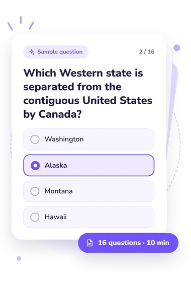
- Washington
- Alaska
- Montana
- Hawaii
- California and Arizona
- Arizona and Nevada
- Utah and Colorado
- Nevada and Utah
- Arizona and New Mexico
- Oregon and Idaho
- Nevada and Utah
- California and Nevada
West Region Quiz - Description and methodology of the test
The questionnaire is a western US states quiz for learners, travelers, and geography enthusiasts who enjoy seeing how borders, landforms, waterways, and geologic processes fit together. Taking the West Region Quiz offers a focused challenge for people who prefer connected reasoning to isolated recall. It can also suit anyone revisiting regional geography after time away from formal study.
What This Assessment Explores
Regional knowledge here means identifying shared borders and landmarks, placing mountain systems and waterways, and linking physical processes to landscapes. Items range across park boundaries, rivers, coastlines, inland basins, volcanic origins, and major ranges. In this west region states quiz, the questionnaire tests relationships among places rather than isolated state names.
The emphasis rewards connected geographic understanding. In this west map quiz, the questionnaire asks you to notice location, direction, adjacency, and drainage relationships. These bands label the West Region Knowledge scale (0-16):
- Foundations to build (0-6) indicates that you recognize some Western features but may benefit from reviewing states, major landforms, and spatial relationships.
- Developing knowledge (7-12) shows a useful grasp of Western geography, with gaps in regional connections or physical processes.
- Strong knowledge (13-16) reflects accurate connections among Western locations, landscapes, waterways, and geologic patterns.
Methodology and Scientific Basis
Each item presents a geographic situation with four answer choices. Respondents select the option that best identifies a state relationship, landform, water system, spatial pattern, or geologic process. Several require applied reasoning, such as linking a landmark with a boundary or a basin's drainage.
This questionnaire applies map-reading and regional-relationship skills to its own questions; in this western states map quiz, respondents connect borders, coastlines, rivers, and ranges across physical and human-defined space. It is an online knowledge check, and its total describes performance on this questionnaire.
For context, Montello and colleagues describe regional relationships among places and environments, DiPietro addresses landscape evolution, geology, and natural history, and Heffron and Downs discuss spatial thinking. These works do not establish validation or population norms for this questionnaire.
The total summarizes performance on this question set only, so its interpretation is descriptive rather than a population norm or diagnostic cutoff. Results can shift with prior study, experience, attention, and test-taking conditions; use the displayed band and the broad subject areas covered by the questions to guide review.
- Daniel R. Montello, Michael T. Applegarth, and Tom L. McKnight. Regional Geography of the United States and Canada. 5th ed. Long Grove, IL: Waveland Press, 2021. ISBN 978-1-4786-3961-9.
- Joseph A. DiPietro. Landscape Evolution in the United States: An Introduction to the Geography, Geology, and Natural History. Amsterdam: Elsevier, 2013. ISBN 978-0-12-397799-1. 10.1016/C2011-0-05551-5.
- Susan Gallagher Heffron and Roger M. Downs, eds. Geography for Life: National Geography Standards, Second Edition. Washington, DC: National Council for Geographic Education, 2012. ISBN 978-1-884136-41-2.