
State Shape Quiz
How the Scales are Structured
Who Usually Takes This Test?
See How You Compare
Below is a preview of how scores are typically distributed across each scale.
Example Questions From the Test
- Michigan
- Florida
- Wisconsin
- Maryland
- Louisiana
- Oklahoma
- New Mexico
- Texas
- Rhode Island
- Massachusetts
- Connecticut
- Maine
State Shape Quiz - Description and methodology of the test
Designed for readers who want to strengthen visual map recognition, this state shape quiz turns U.S. geography into a focused exercise in connecting outlines with names. It suits learners, travelers, teachers, and anyone checking geographic recall. As a state quiz by shape, it emphasizes visual clues rather than capitals, populations, or state history.
What This Assessment Explores
The questions examine geographic literacy through visual identification. Each prompt connects a silhouette with borders, coastlines, rivers, panhandles, peninsulas, islands, or neighboring states. Combining clues makes the result a measure of practical map-reading recognition, not simple recall.
For readers using a shapes of states quiz, the activity highlights spatial relationships across a U.S. map. It shows whether distinctive boundaries come readily or similar outlines need attention.
State Shape Knowledge (0-16) is reported through three result bands:
- Foundations to Build (0-6) indicates that you recognize some prominent outlines but may benefit from comparing borders, coasts, and directional clues.
- Developing Map Sense (7-12) indicates that you identify many state shapes and can apply several spatial features, while similar outlines still need refinement.
- Strong Shape Knowledge (13-16) indicates that you consistently connect distinctive boundaries and geographic features with the correct states.
Methodology and Evidence Base
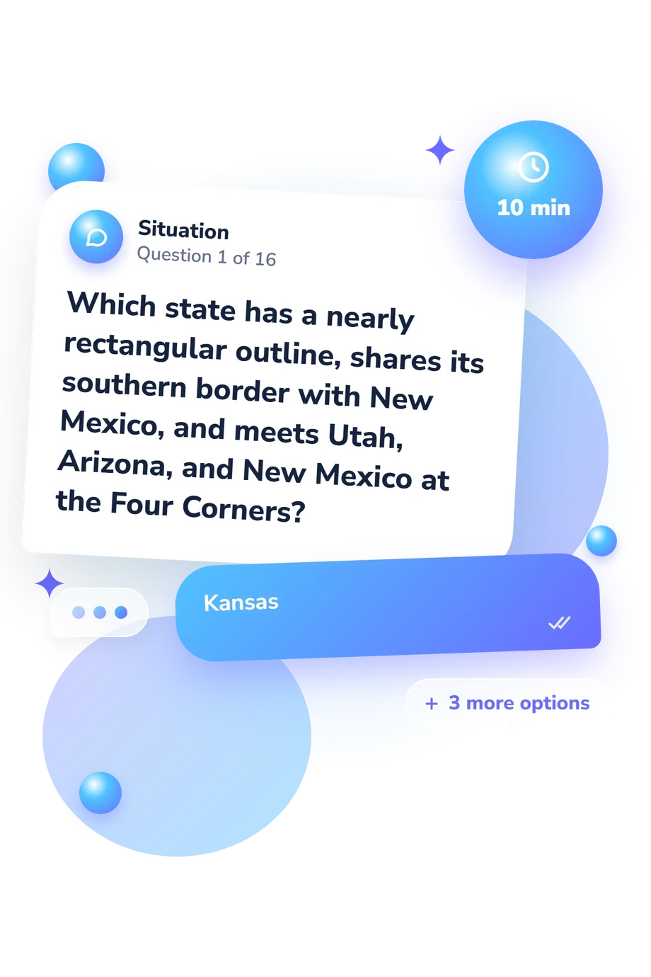
Each item presents a geographic description or visual prompt with four answer choices in this US state-shape quiz. The respondent selects the state that best matches the outline and clues. Scoring is direct: one point for each correct answer, producing a task-specific result rather than a measure of intelligence or geography.
The educational framing is consistent with Walczak and Taylor (2018), whose work addresses geography learning and instructional methods; this questionnaire is not an adaptation of their study. Havelková and Hanus (2019) provide map-skill terminology, while Augustin and Hodge (2024) examine U.S. state identification in a related educational context.
Learners using a US states-by-shape quiz can complete the activity independently, but an honest response is more informative than guessing from a weak clue. No normative sample, reliability estimate, or validated cutoff is attached to this questionnaire, so the scoring is transparent but not standardized. Familiarity with maps, attention, current context, and recognition of particular coastlines can influence performance. Reviewing missed outlines and the clues behind them can turn the result into targeted map study.
- Steven Walczak and Natalie Greene Taylor. "Geography Learning in Primary School: Comparing Face-to-Face versus Tablet-Based Instruction Methods." Computers & Education 117 (2018): 188-198. 10.1016/j.compedu.2017.11.001
- Lenka Havelková and Martin Hanus. "Map Skills in Education: A Systematic Review of Terminology, Methodology and Influencing Factors." Review of International Geographical Education Online 9, no. 2 (2019): 361-401. 10.33403/rigeo.591094
- Jacob Augustin and David Hodge. "Geographic Literacy Among College Students: An Analysis of Sport Fandom in US State Identification." Journal of Social Studies and History Education 8, no. 1 (2024): 63-75.
Updated: