
Mexico States Quiz
How the Scales are Structured
Who Usually Takes This Test?
See How You Compare
Below is a preview of how scores are typically distributed across each scale.
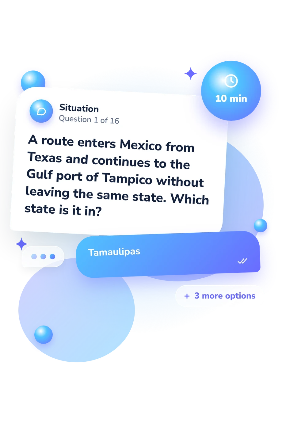
Example Questions From the Test
- Tamaulipas
- Nuevo León
- Coahuila
- Veracruz
- Tabasco
- Campeche
- Quintana Roo
- Yucatán
- Baja California Sur and Sonora
- Nayarit and Jalisco
- Aguascalientes and Guanajuato
- Puebla and Yucatán
Mexico States Quiz - Description and methodology of the test
Travelers, students, teachers, and curious readers can use this assessment to see which geographic relationships they recognize confidently and where a review would help. For anyone testing the trivia Mexico-bound travelers may encounter, the result gives a practical snapshot of familiarity with states, capitals, borders, and notable cities. The Mexico States Quiz shows which relationships are secure and which deserve review.
What This Assessment Explores
The questions examine geographic relationships rather than isolated recall. They ask you to identify capitals, match cities with states, recognize neighboring states, follow routes across regions, and distinguish Mexico City’s federal status from the 31 states. A focus on Mexican state geography keeps the task grounded in identifiable places.
These themes are:
- State-capital knowledge shows how accurately you connect states with administrative centers.
- Border recognition indicates whether you can identify neighboring states and regional boundaries.
- City-and-region knowledge reflects how well you place major destinations within the correct state.
- Federal geography tests whether you distinguish Mexico City from the states on Mexico’s political map.
Together, these themes feed Mexico States Knowledge: 0-16. The result bands are Foundation to Build: 0-6, Developing Knowledge: 7-12, and Strong Knowledge: 13-16. They describe current geographic breadth and suggest useful review areas.
Methodology and Evidence Base
Each item presents a geographic prompt with four answer choices. The completed response pattern is summarized on the knowledge scale, whose bands describe performance on this questionnaire. A higher result indicates broader familiarity with the tested places; a lower result points to topics for review. The four-choice structure asks readers to use both direct recall and clues about routes, borders, and city-state relationships.
Standish (2009) supplies geographic and cultural context for states. Merrill and Miró (1997) address capitals and federal structure, while Galiani and Kim (2011) discuss political geography. The questionnaire is an original online knowledge check whose content is consistent with that context; these references do not validate its scoring or make it an adaptation of a published instrument.
As a geography knowledge test, it turns place knowledge into a concise result by summarizing the completed response pattern rather than testing every aspect of geographic understanding. Results can vary with travel experience, map exposure, concentration, and guessing, so the displayed band is a snapshot of current knowledge rather than a fixed ability.
- Standish, Peter. The States of Mexico: A Reference Guide to History and Culture. Westport, CT: Greenwood, 2009. ISBN 9780313342233.
- Galiani, Sebastian, and Sukkoo Kim. "Political Centralization and Urban Primacy: Evidence from National and Provincial Capitals in the Americas." In Understanding Long-Run Economic Growth: Geography, Institutions, and the Knowledge Economy, edited by Dora L. Costa and Naomi R. Lamoreaux, 121-153. Chicago: University of Chicago Press, 2011. 10.7208/chicago/9780226116426.003.0005.
- Merrill, Tim L., and Ramón Miró, eds. Mexico: A Country Study. 4th ed. Washington, D.C.: Federal Research Division, Library of Congress, 1997. ISBN 0844408557.
Updated: