
Latin America Map Quiz
How the Scales are Structured
Who Usually Takes This Test?
See How You Compare
Below is a preview of how scores are typically distributed across each scale.
Example Questions From the Test
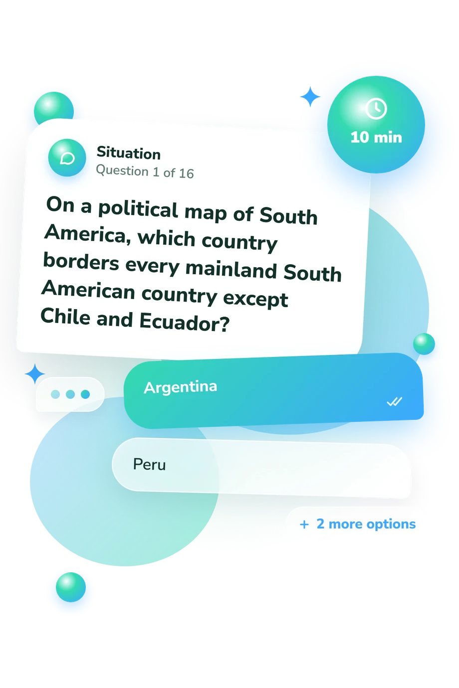
- Argentina
- Peru
- Brazil
- Colombia
- Guyana
- Suriname
- Brazil
- Venezuela
- Ecuador
- Uruguay
- Chile
- Paraguay
Latin America Map Quiz - Description and methodology of the test
Designed for people who want to check their grasp of regional geography, the Latin America Map Quiz turns map knowledge into a focused self-assessment. It suits learners, travelers, teachers, and anyone revisiting the region through questions about borders, coastlines, countries, waterways, mountains, deserts, and island geography. This Latin America quiz helps you see whether your mental map is broad, connected, or still uneven.
What This Assessment Explores
The questionnaire uses spatial relationships rather than capitals alone. Questions connect borders, directions, coastlines, neighboring countries, landlocked position, and features such as the Andes, Amazon system, Caribbean Sea, and Atacama Desert. In this questionnaire, the questions also function as a Central and South America map quiz, showing how well you connect places across Central America, the Caribbean, and South America.
One result scale, Latin America Map Knowledge, runs from 0-16 and summarizes recognition of countries, relative locations, and major physical features. Its displayed bands are:
- Emerging (0-6) indicates that you recognize some regional clues but may need more practice with country positions and boundaries.
- Developing (7-12) shows a useful geographic framework while some locations remain easy to confuse.
- Strong (13-16) reflects accurate identification of most countries and features presented through textual spatial clues.
Methodology and Scientific Basis
Each item gives a geographic clue and four answer choices. You identify a country or feature through neighbors, direction, coastline, route, or physical geography, so the format tests connected map reasoning rather than simple recall. Responses produce one overall knowledge result rather than separate regional subscores.
Conceptually, the content is consistent with the classroom-oriented reference Map Skills by House and House from 1993, which provides context for Latin American map reading. Huynh and Sharpe’s geospatial-thinking research provides related conceptual context for recognizing spatial relationships and interpreting geographic representations. The National Research Council adds a broader learning framework for using representations to understand location, connection, and pattern.
For readers, this test works as a Latin American countries quiz: it can help you choose which borders or physical features to review next. The score is a snapshot shaped by prior instruction, map exposure, and familiarity with regional names. The result from this Latin America countries quiz summarizes performance on the tested material and can guide study priorities, but it does not capture every aspect of geographic knowledge.
- R. Scott House and Patti M. House. Map Skills: Latin America, Grades 7-9. Milliken Publishing Company, 1993; revised 2009.
- Niem Tu Huynh and Bob Sharpe. “An Assessment Instrument to Measure Geospatial Thinking Expertise.” Journal of Geography, vol. 112, no. 1, 2013, pp. 3-17. 10.1080/00221341.2012.682227
- National Research Council. Learning to Think Spatially: GIS as a Support System in the K-12 Curriculum. National Academies Press, 2006. 10.17226/11019
Updated: