
Italy Quiz
How the Scales are Structured
Who Usually Takes This Test?
See How You Compare
Below is a preview of how scores are typically distributed across each scale.
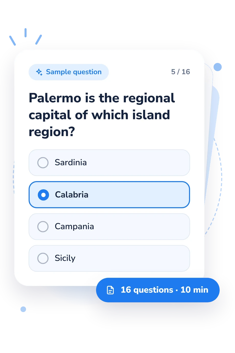
Example Questions From the Test
- Basilicata
- Calabria
- Apulia
- Molise
- Veneto
- Friuli Venezia Giulia
- Emilia-Romagna
- Trentino-Alto Adige/Südtirol
- Abruzzo
- Umbria
- Campania
- Tuscany
Italy Quiz - Description and methodology of the test
People who want to strengthen their map of Italy can use this assessment to check practical location knowledge rather than recall isolated facts. The italy quiz is suited to learners, travelers, and anyone curious about how confidently they connect regions with capitals, coastlines, borders, and nearby cities. It offers a snapshot of current understanding and highlights geographic relationships worth revisiting. An Italy geography quiz can make that review more focused.
What This Assessment Explores
The questions measure Italy’s regional layout through geographic relationships. They ask respondents to identify a region from its capital, island position, coastline, international border, mountain setting, or route between cities. Travel-style scenarios make the task about placing locations in relation to one another, not recalling disconnected names.
History and culture are not the focus: unlike an Italian trivia quiz, this assessment concentrates on spatial organization. It suits learners, travelers, teachers, and anyone seeking a clearer mental map.
The result uses one displayed scale:
- Italy Regions Knowledge (0-16) shows how well capitals, borders, coastlines, and spatial clues are linked to regions.
- Foundations to build (0-6) indicates basic recognition that needs regional review.
- Developing knowledge (7-12) reflects a solid base for connecting cities and clues with regions.
- Strong regional knowledge (13-16) indicates accurate identification across the test’s geographic scenarios.
Methodology and Evidence Base
Each item presents a short travel-style question with four answer choices. The respondent connects a capital, city, coast, border crossing, island, or route with the region that fits it. This format checks recognition and relational reasoning, while the total score summarizes how consistently those links are made. The bands provide descriptive feedback.
The closest conceptual frame is geographic location knowledge and spatial thinking. Costa and Bonetti (2018) describe distortions in cognitive maps; Dunn (2011) treats location knowledge as part of spatial thinking; and Gherardi and colleagues (2008) present an educational GIS approach to geography learning. These sources explain why capitals, borders, and relative position are meaningful content for an Italy regions quiz, but they do not show that this questionnaire is a validated adaptation of their work.
This self-assessment is interpreted descriptively, not through population norms. Results may vary with schooling, travel experience, language familiarity, and recent study. A strong score reflects performance on these items; a lower band identifies topics for review. Targeted practice with locations can turn the result into a learning plan.
- Costa, Marco, and Leonardo Bonetti. (2018). Geometrical distortions in geographical cognitive maps. Journal of Environmental Psychology, 55, 53-69. 10.1016/j.jenvp.2017.12.004
- Gherardi, Massimo, A. L’Astorina, Gilmo Vianello, and Nicoletta Zamboni. (2008). CAT GIS: example of a new educational instrument applied to the geography teaching. ICERI 2008 Proceedings, 425/1-425/9. IATED, Valencia.
- Dunn, James M. (2011). Location Knowledge: Assessment, Spatial Thinking, and New National Geography Standards. Journal of Geography, 110(2), 81-89. 10.1080/00221341.2010.511243
Updated: