
Countries of the World Quiz
How the Scales are Structured
Who Usually Takes This Test?
See How You Compare
Below is a preview of how scores are typically distributed across each scale.
Example Questions From the Test
- Morocco
- Tunisia
- Algeria
- Mauritania
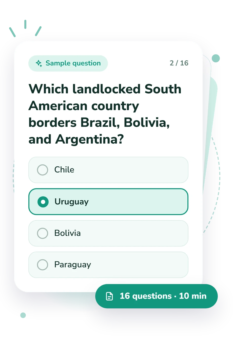
- Chile
- Uruguay
- Bolivia
- Paraguay
- South Korea
- China
- Japan
- Thailand
Countries of the World Quiz - Description and methodology of the test
Students, travelers, and curious adults can use the Countries of the World Quiz to check whether their current geographic recall is ready for travel, study, or further practice. As a country quiz focused on identifying nations, it gives respondents a practical basis for deciding which areas of geography deserve more attention. The result is most useful to people who want a clear starting point for self-directed learning or travel preparation.
What This Assessment Explores
Practical country-recognition is the central skill. Clues connect nations with neighbors, capitals, islands, straits, peninsulas, and regional position.
Verbal location-based questions make this country knowledge test useful for applied recall. It highlights strengths in sampled geography, not full country knowledge.
The displayed scale is Countries of the World Knowledge (0-16). Emerging (0-6) means you recognize some countries while building continental, border, and capital knowledge. Developing (7-12) reflects a useful foundation with occasional confusion between nearby nations or regional clues. Strong (13-16) indicates accurate identification across varied regions and clue types. This brief educational sample is not a complete test of every nation.
The main clue groups are:
- Border clues show how you use neighboring countries to locate a nation.
- Capital clues show whether city-country associations support identification.
- Island and regional clues show how you combine physical geography with broader position.
Methodology and Evidence Base
Each item presents a geographical situation with four answer choices. Selecting the best-supported nation emphasizes recognition and relational reasoning rather than essay writing or map drawing. In a geography knowledge test of this kind, the items ask respondents to connect several geographic facts.
Results are reported on the displayed scale and interpreted through its bands; no additional weighting rule is stated. The questionnaire samples representative relationships between countries rather than surveying every nation.
Conceptually, the closest comparison is the National Geographic-Roper study (2006), which treats geographic literacy as knowledge of places and spatial relationships. Saarinen and MacCabe’s work on sketch-map quality, van der Schee and Kolkman’s multimedia geography assessment, and Geography for Life provide broader background on geographic literacy and assessment, rather than evidence that this questionnaire is valid or standardized.
Performance can vary with schooling, travel experience, language, familiarity with capitals, and concentration. The result is a snapshot of the sampled clues, with no stated population norms.
- GfK NOP/Roper Public Affairs. (2006). Final Report: National Geographic-Roper Public Affairs 2006 Geographic Literacy Study. New York: National Geographic Education Foundation.
- Saarinen, Thomas F., and Charles L. MacCabe. (1995). World Patterns of Geographic Literacy Based on Sketch Map Quality. The Professional Geographer, 47(2), 196-204. 10.1111/j.0033-0124.1995.00196.x
- van der Schee, Joop, and Ronnie Kolkman. (2010). Multimedia tests and geographical education: the 2008 International Geography Olympiad. International Research in Geographical and Environmental Education, 19(4), 283-293. 10.1080/10382046.2010.519149
- Geography Education Standards Project. (1994). Geography for Life: National Geography Standards. Washington, DC: National Geographic Research and Exploration.
Updated: