
World Geography Quiz Game
How the Scales are Structured
Who Usually Takes This Test?
See How You Compare
Below is a preview of how scores are typically distributed across each scale.
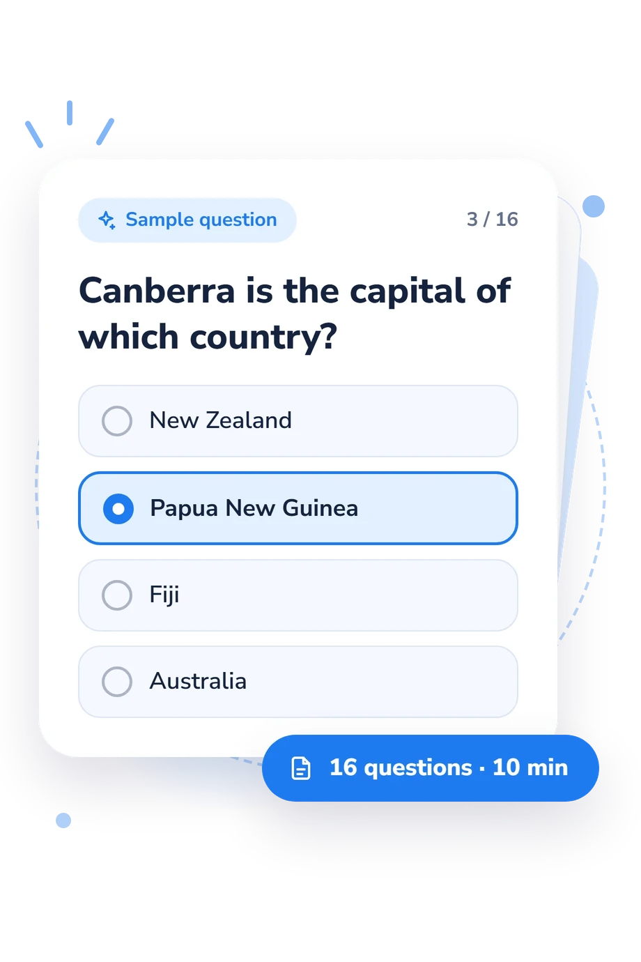
Example Questions From the Test
- Laos
- Thailand
- Cambodia
- Malaysia
- Germany
- Netherlands
- Poland
- Sweden
- New Zealand
- Papua New Guinea
- Fiji
- Australia
World Geography Quiz Game - Description and methodology of the test
Designed for learners, travelers, and curious adults, this world geography quiz game offers a focused way to check accuracy on sampled geography questions and connect descriptions with places. Its online geography quiz format suits independent practice and quick self-reflection. The result gives one overall level of accuracy across the tested material, rather than a separate profile of domains.
What This Assessment Explores
The questionnaire measures world-geography knowledge through location recognition and spatial relationships. Its world geography questions cover countries, capitals, borders, cities, landforms, seas, oceans, continents, and islands. Here, the prompts ask respondents to connect descriptions with places, combining geographic recall with interpretation of location clues.
These themes show what the result captures:
- Country and border clues show whether neighboring, landlocked, and bordering nations are distinguished.
- Capitals and cities show how securely major places are linked to their countries.
- Physical features reveal familiarity with deserts, mountains, lakes, reefs, seas, and oceans.
- Directional clues show whether verbal relationships between places are interpreted accurately.
Together, these areas contribute to the World Geography Knowledge scale, scored from 0-16. Building Foundations covers 0-6, Developing Navigator covers 7-12, and Global Navigator covers 13-16. The bands describe increasing accuracy across tested material, not school grades or ability levels.
Methodology and Scientific Basis
These geography quiz questions each present a geographic prompt with four answer choices. Selecting one option earns one point for a correct response, so scoring reflects recognition rather than confidence ratings.
Item groups cover political geography, physical features, and positional relationships. The structure is conceptually consistent with the Spatial Thinking Ability Test (STAT; Lee and Bednarz, 2012), especially its focus on locations, place relationships, and spatial information. This is a separate online assessment, not an adaptation or standardized administration of STAT. The National Geographic-Roper 2002 survey offers a comparison for world-knowledge content, not the scoring instrument.
The result is a focused snapshot of performance on the places and relationships sampled. A stronger score means more clues were answered correctly; the displayed bands are descriptive rather than standardized educational cutoffs.
Performance can vary with schooling, travel, language, cultural exposure, memory, guessing, and current attention. As an online geography game, it supports self-reflection and choosing subjects to review.
- Lee, Jongwon, and Robert S. Bednarz. “Components of Spatial Thinking: Evidence from a Spatial Thinking Ability Test.” Journal of Geography 111, no. 1 (2012): 15-26. 10.1080/00221341.2011.583262
- RoperASW. National Geographic-Roper 2002 Global Geographic Literacy Survey. Prepared for the National Geographic Education Foundation, November 2002.
Updated: