
US Regions Quiz
How the Scales are Structured
Who Usually Takes This Test?
See How You Compare
Below is a preview of how scores are typically distributed across each scale.
Example Questions From the Test
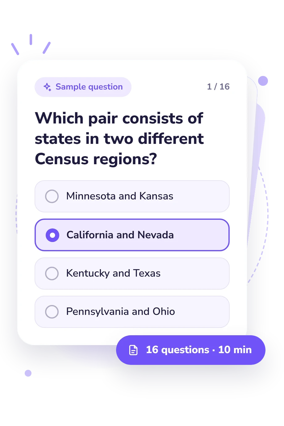
- Minnesota and Kansas
- California and Nevada
- Kentucky and Texas
- Pennsylvania and Ohio
- New England
- South Atlantic
- Middle Atlantic
- East North Central
- Connecticut, Michigan, Alabama, and Utah
- Maine, New York, Texas, and California
- New Jersey, Kansas, Missouri, and Oregon
- Pennsylvania, Wisconsin, Idaho, and Washington
US Regions Quiz - Description and methodology of the test
Students, teachers, travelers, and curious learners who want a structured way to classify states can use this US regions test to practice the federal geographic framework. The US Regions Quiz indicates how accurately you classify states within the four Census regions and nine divisions. It is useful for checking practical geographic knowledge without treating cultural ideas about regions as part of the same result.
What the Questionnaire Measures
At its core, the assessment checks whether you can place states within the U.S. Census Bureau’s four-region, nine-division structure. As a quiz on the regions of the United States, it keeps the focus on relationships among categories, asking about shared divisions, neighboring states, cross-region pairs, and corrections to plausible mistakes. The result describes performance on this defined geographic system, not a universal account of regional identity.
The displayed scale is US Regions Knowledge (0-16). Its bands describe the level attached to the score:
- Building Foundations (0-6) means the main boundaries and anchor states need review.
- Developing Knowledge (7-12) means many classifications are recognized, though neighboring divisions may be confused.
- Strong Regional Knowledge (13-16) means states and divisions are classified accurately across varied examples.
Methodology and Evidence Base
Each prompt presents a geographic scenario or comparison with four answer choices. The respondent selects the option that matches the Census arrangement, including cases about border states, division membership, or the relationship between a region and its divisions. The four-option format makes this a quiz on US regions and an applied classification exercise rather than an open-ended recall task.
The displayed result summarizes performance on this questionnaire, showing how successfully the respondent handles region, division, and state-classification relationships. It is specific to this online questionnaire, not a normed measure of general geographic ability.
Its reference point is Census Regions and Divisions, the U.S. Census Bureau framework defining four regions and nine divisions. The questionnaire applies those categories directly: they provide the classification rule for every answer rather than a claim about every cultural meaning of U.S. regions.
As an online knowledge check, performance may reflect prior exposure, attention, guessing, and the respondent’s current familiarity with the framework. The result is therefore best read as a focused indication of classification knowledge within this system.
- U.S. Census Bureau. 2010 Census Regions and Divisions of the United States. U.S. Census Bureau, 2010.
- National Research Council. Appendix C: U.S. Census Regions and Divisions. In Effective Tracking of Building Energy Use: Improving the Commercial Buildings and Residential Energy Consumption Surveys. Washington, DC: The National Academies Press, 2012. 10.17226/13360.
- U.S. Census Bureau. History of Geographic Regions and Divisions. U.S. Census Bureau, 2024.
- Hewes, Fletcher W., and Henry Gannett. Scribner's Statistical Atlas of the United States, Showing by Graphic Methods Their Present Condition and Their Political, Social and Industrial Development. Charles Scribner's Sons, 1883.
Updated: