
Europe Map Quiz
How the Scales are Structured
Who Usually Takes This Test?
See How You Compare
Below is a preview of how scores are typically distributed across each scale.
Example Questions From the Test
- Andorra
- Monaco
- San Marino
- Liechtenstein
- Ireland
- United Kingdom
- Norway
- Iceland
- Belgium
- France
- Italy
- Portugal
Europe Map Quiz - Description and methodology of the test
For people who want to test their knowledge of European geography, the Europe Map Quiz offers a focused way to examine how well countries can be located from text-based clues about borders, coasts, neighboring states, and relative position. It works as a Europe quiz for checking regional recall before study, travel, or classroom work. The result describes your current European map knowledge, not general intelligence or every aspect of geography.
What This Assessment Explores
The questionnaire measures practical country-location knowledge: recognizing a state from its neighbors, borders, coastlines, islands, or position within a region. In practice, this European countries quiz concentrates on building a mental map from relationships rather than recalling isolated names.
The main themes represented by the items are:
- Borders and neighbors show whether surrounding states help you identify a country.
- Coasts and landforms show how peninsulas, islands, and mountain regions guide recall.
- Regional position shows how accurately you place countries across western, central, northern, eastern, and southeastern Europe.
The displayed scale is Europe Map Knowledge: 0-16. The Starting Bearings band (0-6) signals partial recognition and a need to review borders; Developing Map Knowledge (7-12) reflects many correct placements with some neighboring-state gaps; Strong Map Knowledge (13-16) reflects accurate identification from spatial clues. This score covers the representative text set, not every European country.
Methodology and Scientific Basis
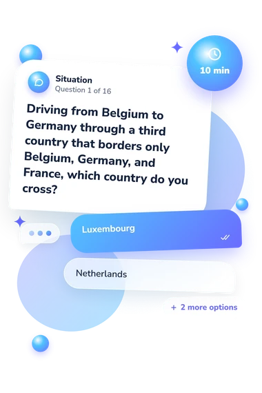
Each item gives a map-based clue and four country choices, asking for the option that fits the stated borders or location. The structure tests recognition and spatial reasoning rather than written explanation. As a quiz about European countries, the questionnaire reports one displayed score with its three bands; it does not state a separate weighting formula.
The format turns map relationships into a compact performance summary. As a quiz on countries across Europe, it is conceptually consistent with Axia and colleagues’ research on mental representations of Europe, Huynh and Sharpe’s geospatial-thinking assessment model, and the National Research Council’s account of spatial thinking through location, distance, direction, and pattern; it is not an adaptation of any of those published works.
Interpret the result as performance on this questionnaire, not as a norm-referenced or clinical assessment. Familiarity with geography, schooling, travel, and current attention can affect answers. A lower result points to topics for review but does not explain every missed answer.
- Axia, Giovanna, Gavin Bremner, Paolo Deluca, and Gillian Andreasen. "Children drawing Europe: The effects of nationality, age and teaching." British Journal of Developmental Psychology 16, no. 4 (1998): 423-437. 10.1111/j.2044-835X.1998.tb00762.x
- Huynh, Niem Tu, and Bob Sharpe. "An Assessment Instrument to Measure Geospatial Thinking Expertise." Journal of Geography 112, no. 1 (2013): 3-17. 10.1080/00221341.2012.682227
- National Research Council. Learning to Think Spatially: GIS as a Support System in the K-12 Curriculum. Washington, DC: The National Academies Press, 2006. 10.17226/11019