
East Asia Map Quiz
How the Scales are Structured
Who Usually Takes This Test?
See How You Compare
Below is a preview of how scores are typically distributed across each scale.
Example Questions From the Test
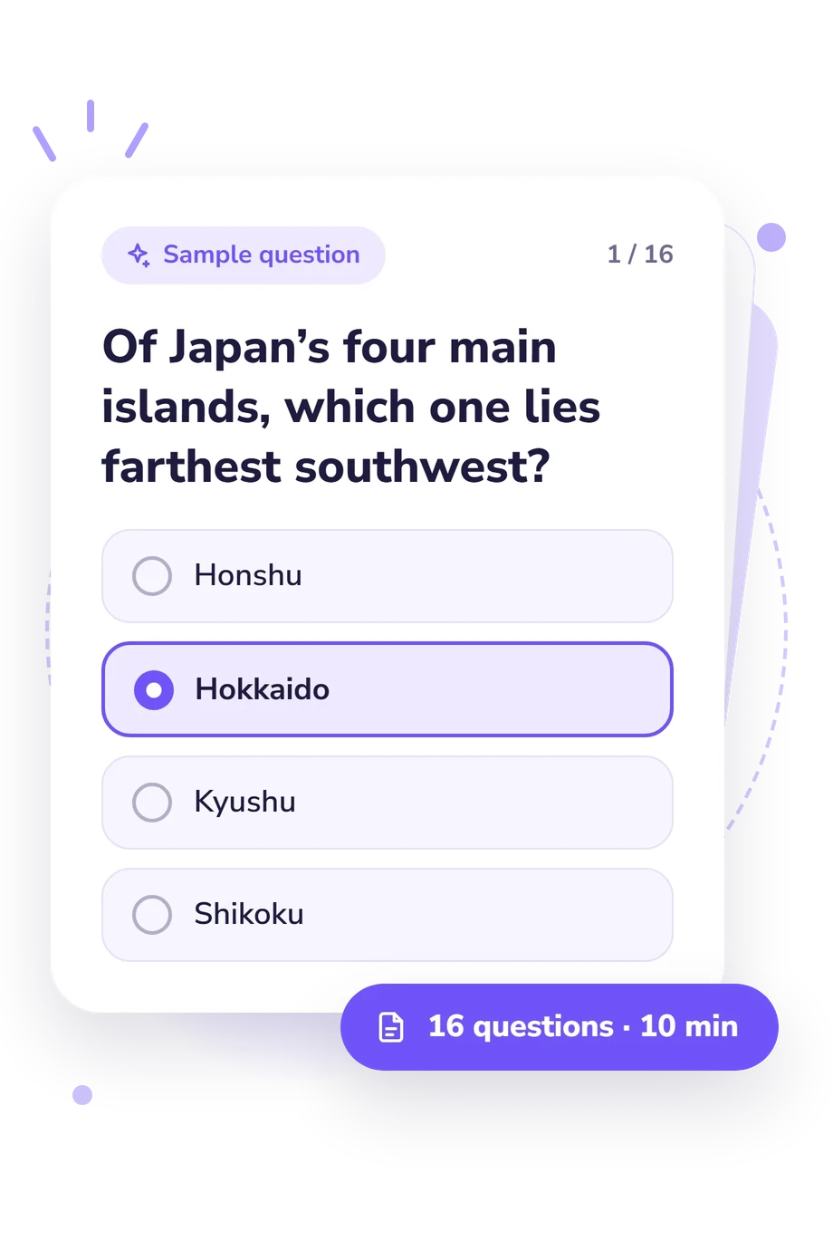
- Honshu
- Hokkaido
- Kyushu
- Shikoku
- Yellow River
- Mekong River
- Pearl River
- Yangtze River
- Korean Peninsula
- Liaodong Peninsula
- Shandong Peninsula
- Kamchatka Peninsula
East Asia Map Quiz - Description and methodology of the test
Readers who want to check how confidently they can orient themselves across the region can use the east asia map quiz as a focused self-check. It combines recognition of key geographic names with reasoning about relative locations. Results from this East Asia geography quiz show where further review may help.
What This Assessment Explores
This assessment checks East Asia map knowledge through relationships among countries, islands, cities, rivers, deserts, and surrounding waters. The questions combine named features with relative-location reasoning, making the assessment useful for eastern Asia map quiz practice. These are question groups, not separate subscales; one map-knowledge score is reported.
The prompts examine four practical skill groups:
- Regional position shows how you place countries and neighbors.
- Islands and peninsulas show whether clues identify landforms.
- Cities, rivers, and deserts test recognition of named features.
- Directions and waters measure movement across seas and oceans.
East Asia Map Knowledge runs from 0-16 correct answers. Foundations (0-6) signals recognition with review needed for countries, coastlines, and positions; Developing (7-12) signals a framework with gaps around islands, landforms, or directions; Strong (13-16) signals accurate handling of major country, city, waterway, and physical-geography clues.
Methodology and Scientific Basis
Each item presents a geographic clue with four answer choices. You identify a country, city, island, peninsula, river, desert, ocean, or direction, combining factual recall with relative-location reasoning. The displayed score is the number of correct responses, so a higher result reflects more answers matching the keyed locations or features.
The method is conceptually consistent with Map Skills Asia (House & House, 2010), which treats map reading as recognition of locations, physical features, and spatial relationships. It is not presented as an adaptation of that work. The location, place, movement, and region perspective also aligns with the geographic-education framework discussed by the Joint Committee (1984) and Natoli (1994).
Johnson, Haarmann, and Johnson (2014) provide regional context for interpreting mainland and island relationships. As an east asia map test, the online quiz has no published norms or psychometric estimates; its score is a descriptive measure of performance on these location and feature questions.
Previous study, guessing, familiarity with place names, and clue wording can affect performance. Read the result as a focused learning snapshot, then use weaker areas to guide further map review.
- House, R. Scott, and Patti M. House. Map Skills: Asia. Revised ed. Lorenz Educational Press, 2010. ISBN 978-1-55863-124-3.
- Joint Committee on Geographic Education. Guidelines for Geographic Education: Elementary and Secondary Schools. Association of American Geographers and National Council for Geographic Education, 1984.
- Johnson, Douglas L., Viola Haarmann, and Merrill L. Johnson. World Regional Geography: A Development Approach. 11th ed. Pearson, 2014. ISBN 978-0-321-93964-7.
- Natoli, Salvatore J. “Guidelines for Geographic Education and the Fundamental Themes in Geography.” Journal of Geography, vol. 93, no. 1, 1994, pp. 2-6. 10.1080/00221349408979676.
Updated: