
Europe Physical Map Quiz
How the Scales are Structured
Who Usually Takes This Test?
See How You Compare
Below is a preview of how scores are typically distributed across each scale.
Example Questions From the Test
- The Baltic Sea
- The Black Sea
- The Adriatic Sea
- The Aegean Sea
- Latvia
- Sweden
- Estonia
- Lithuania
- Crete
- Ireland
- Sardinia
- Iceland
Europe Physical Map Quiz - Description and methodology of the test
Students, travelers, and curious map learners can use this europe physical map quiz to connect geographic names with their positions across the continent. This Europe physical features map quiz suits independent practice, classroom review, or a refresher before regional geography. The result offers a snapshot of performance across Europe's physical geography, highlighting areas for focused map-based learning.
What the Assessment Measures
Questions about Europe's physical features use map-based clues to test recognition and location knowledge. Waterway and landform items test regional relationships, showing whether named features form a usable mental map.
The result describes Europe Physical Map Knowledge (0-16). Foundations to build (0-6) indicates that major landforms and relative positions may need review. Developing knowledge (7-12) reflects possible confusion between neighboring regions or waterways. Strong knowledge (13-16) indicates accurate identification of spatial clues across Europe.
Taken together, this quiz tests knowledge of the physical features of Europe and their connected locations. The main themes are:
- Seas and coasts show how you connect water bodies with bordering shores.
- Rivers show whether you can follow routes through cities and deltas.
- Mountains and plains show whether you can place landforms as regional boundaries.
Methodology and Evidence Base
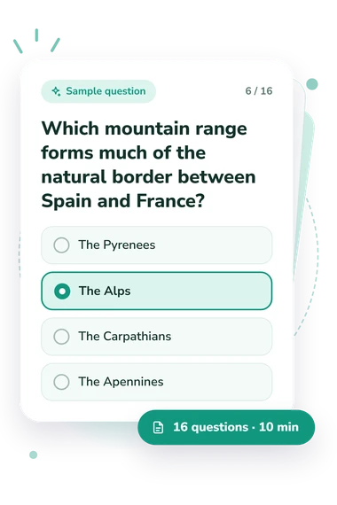
Each item presents a travel or location clue with four answer choices. Choosing a sea, river, range, plain, peninsula, or country combines recall with relative-position reasoning: some items allow straightforward identification, while others require attention to the clue's spatial relationships. Together, these questions give the physical map of Europe quiz its focus on names, routes, borders, and surrounding waters.
The displayed result is a correct-answer total placed in the displayed bands, summarizing quiz performance rather than comparing it with a norm group.
Aloian and Kalman (2007) provide a compatible context for identifying European physical features. House and House (2010) support map-skills practice involving locations, while Dunn (2011) connects location knowledge with spatial thinking and assessment. Together, these works give context for a physical features of Europe quiz, not a source instrument or validation study.
The quiz is an unstandardized knowledge check without reference norms, so performance can reflect prior study, language, attention, and current recall. Use the score to target map review and reinforce spatial connections, especially where regional clues were difficult.
- Aloian, Molly, and Bobbie Kalman. Explore Europe. Crabtree Publishing Company, 2007. ISBN 9780778730743.
- Dunn, James M. “Location Knowledge: Assessment, Spatial Thinking, and New National Geography Standards.” Journal of Geography, vol. 110, no. 2, 2011, pp. 81-89. DOI 10.1080/00221341.2010.511243.
- House, R. Scott, and Patti M. House. Map Skills - The World. Milliken Publishing Company, 2010. ISBN 9781558631267.
Updated: