
New Zealand Quiz
How the Scales are Structured
Who Usually Takes This Test?
See How You Compare
Below is a preview of how scores are typically distributed across each scale.
Example Questions From the Test
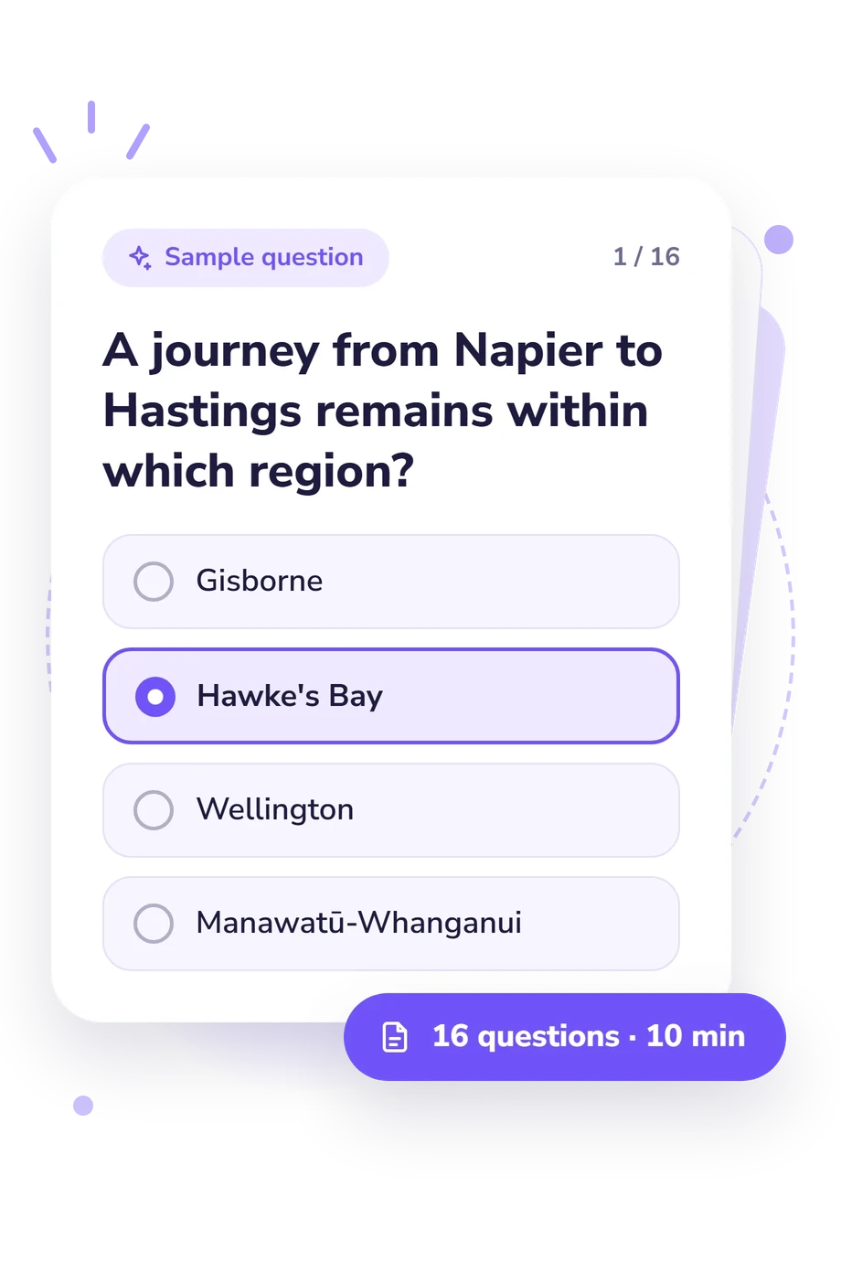
- Gisborne
- Hawke's Bay
- Wellington
- Manawatū-Whanganui
- Nelson
- Tasman
- Canterbury
- Marlborough
- Canterbury
- Marlborough
- West Coast
- Otago
New Zealand Quiz - Description and methodology of the test
People who want to check their knowledge of New Zealand’s administrative regions can use this assessment for a focused regional-geography check. The New Zealand Quiz gives a broad result level, showing whether their overall grasp is at a starter, developing, or expert stage. This quiz about New Zealand offers a clear way to revisit regional knowledge.
What This Assessment Explores
The questions focus on administrative geography rather than isolated place-name recall. They connect Napier and Hastings with Hawke’s Bay, distinguish Nelson from Tasman, and place cities within relevant regions. Routes also act as clues when a journey stays inside one boundary.
This NZ quiz tests recognition in context rather than isolated labels.
The result appears on one scale: New Zealand Administrative Regions Knowledge (0-16). It measures accurate regional identification across both islands and links places with their regions. Its bands are:
- Regional Starter (0-6) indicates recognition of major places, with some neighbouring boundaries still blurred.
- Developing Navigator (7-12) shows a useful grasp of the layout with distinctions to strengthen.
- Regional Expert (13-16) indicates accurate identification across both islands and confident place-and-route links.
The band indicates the respondent’s broad level and can guide general review of regional boundaries, cities, and routes.
Methodology and Evidence Base
Each item presents a geographic situation and four answer choices. Prompts ask the respondent to select a region from city pairings, journeys that remain within one area, and unitary authorities such as Nelson and Gisborne. Recognition is tested in practical situations, and these clues appear throughout the NZ quiz questions.
The scoring is descriptive, but the online questionnaire does not document how answers are converted into a total or whether themes receive different weights. It is a knowledge snapshot, not a norm-referenced psychological score.
Stats NZ regional classification (2023) supplies the administrative reference, while the Local Government Act 2002 provides legal context for regional and unitary authorities. Cumberland and Fox provide a regional-geography framework, and Wood (1960) reviews that work. The questionnaire is conceptually consistent with these sources, not an adaptation of them.
Prior study, travel experience, memory, and confusion between geographic and administrative boundaries can affect performance. Since no standardisation or norm sample is stated, use the score to guide general review rather than as a fixed measure of ability.
- Stats NZ (2022). Statistical standard for geographic areas 2023. Wellington: Stats NZ Tatauranga Aotearoa. ISBN 978-1-99-104917-9.
- Cumberland, Kenneth Brailey, and James Walter Fox (1963). New Zealand: A Regional View. 2nd ed. Christchurch: Whitcombe and Tombs.
- New Zealand Parliament (2002). Local Government Act 2002. Wellington: Parliamentary Counsel Office.
- Wood, F. L. W. (1960). Review of New Zealand: A Regional View, by Kenneth B. Cumberland and James W. Fox. International Affairs, 36(4), 551. 10.2307/2610354
Updated: