
US Mountain Ranges Quiz
How the Scales are Structured
Who Usually Takes This Test?
See How You Compare
Below is a preview of how scores are typically distributed across each scale.
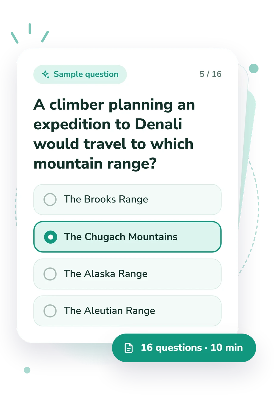
Example Questions From the Test
- The Klamath Mountains
- The Cascade Range
- The Pacific Coast Ranges
- The Sierra Nevada
- The Black Hills
- The Uinta Mountains
- The Bitterroot Range
- The Bighorn Mountains
- The Brooks Range
- The Chugach Mountains
- The Alaska Range
- The Aleutian Range
US Mountain Ranges Quiz - Description and methodology of the test
For learners who want to place major American ranges on a map, the US Mountain Ranges Quiz offers a focused way to check geographic knowledge through recognition and comparison. It suits students, travelers, hikers, and readers building knowledge of American mountain geography. The overall result shows how firmly the tested systems and relationships are understood and whether broader geography review may be useful.
What This Quiz Measures
The quiz measures practical knowledge of US mountain geography rather than climbing experience. It asks readers to identify ranges, place them within systems, and connect landforms with regional patterns. Learners can link named ranges to larger systems and regional patterns.
The items mainly examine three connected areas:
- Range recognition shows whether you match named chains with the larger systems they belong to.
- Regional placement indicates how accurately you locate ranges, subranges, and notable peaks across the country.
- Geographic relationships reveal whether you use clues such as rain shadows, volcanic peaks, elevation, and mountain-building history.
The displayed result is US Mountain Ranges Knowledge: 0-16. Foundation-building (0-6) means major systems and regions need review; Developing (7-12) reflects a useful grasp with spatial distinctions to strengthen; Strong (13-16) reflects accurate connections among ranges, locations, features, and larger systems. It describes this quiz only.
Methodology and Evidence Base
Each item uses a single-best-answer format with four geographic alternatives. Wording combines direct identification with comparisons and map-like scenarios, asking readers to use peaks, position, climate effects, geological setting, or links to larger systems. This makes the mountain ranges quiz a test of applied geographic recall, not mountaineering ability.
Responses are condensed into one quiz-specific knowledge result rather than separate subscores. The quiz reports one overall knowledge score, and the displayed bands are descriptive levels for this question set rather than universal standards.
Its geographic framework is conceptually consistent with Thelin and Pike (1991), whose USGS relief mapping supports recognition of terrain and regional form. Fenneman (1946) supplies a physiographic organization of the country, while Reed and Bush (2007) explains how geologic mapping represents landform relationships. The quiz is not presented as an adaptation of any one source.
The score is best read in context: performance can vary with prior study, memory, wording, or attention, and it indicates knowledge on this set rather than general geographic ability.
- Thelin, Gail P., and Richard J. Pike. 1991. Landforms of the conterminous United States-A digital shaded-relief portrayal. U.S. Geological Survey Miscellaneous Investigations Series Map I-2206, pamphlet 16 p., 1 sheet. 10.3133/i2206
- Fenneman, Nevin M. 1946. Physical divisions of the United States. U.S. Geological Survey map, scale 1:7,000,000. 10.3133/70207506
- Reed, John C., and Charles A. Bush. 2007. About the geologic map in the National Atlas of the United States of America. U.S. Geological Survey Circular 1300, 52 p. 10.3133/cir1300
Updated: