
Territories Quiz
How the Scales are Structured
Who Usually Takes This Test?
See How You Compare
Below is a preview of how scores are typically distributed across each scale.
Example Questions From the Test
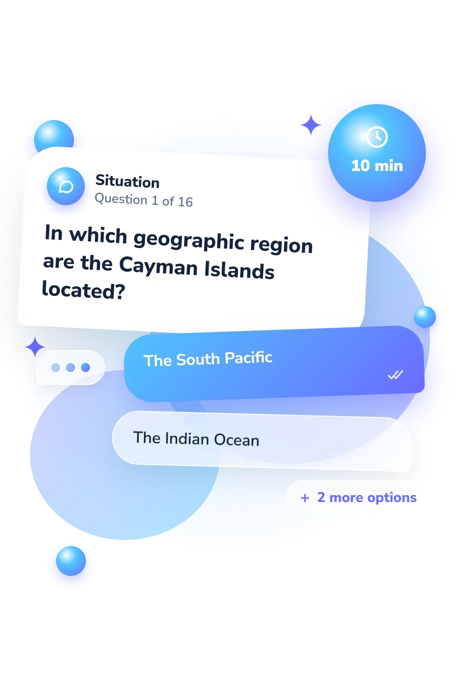
- The South Pacific
- The Indian Ocean
- The Mediterranean
- The Caribbean
- Guam
- American Samoa
- The Northern Mariana Islands
- The U.S. Virgin Islands
- Indonesia
- Australia
- New Zealand
- The United Kingdom
Territories Quiz - Description and methodology of the test
People who travel, study geography, or follow international affairs may benefit from a quiz about territories of the world when they want to connect places with the political arrangements governing them. The exercise can make unfamiliar distinctions easier to notice and suggest where a learner may want to review. The Territories Quiz offers a practical way to build that understanding and connect the result to further learning.
What This Assessment Measures
It measures factual knowledge of territories and their statuses. Questions locate territories, identify the sovereign or administering state, and distinguish integrated, autonomous, self-governing, and free-association arrangements.
The questions examine four areas:
- Regional identification shows whether you place territories correctly.
- Sovereignty and administration distinguish the responsible state from local autonomy.
- Constitutional status separates British Overseas Territories, overseas departments and regions, and other arrangements.
- Comparative relationships test recognition of shared kingdoms and free association.
The Territories Knowledge scale runs 0-16: Foundation (0-6) means recognizing some major territories but missing locations or political relationships; Developing (7-12) means a useful grasp with distinctions to refine; Strong (13-16) means consistently identifying territories, administering states, and differences from sovereign countries. The result from this geography assessment reflects performance on its factual items, not overall geographic knowledge, and may suggest topics to review.
Methodology and Evidence Base
Each item uses a four-option multiple-choice format. The scenarios ask you to connect locations with sovereignty, administration, and constitutional classification, so careful reading matters alongside factual recall. The four choices ask the respondent to select the option that best completes a location or political-status question; several prompts use traveler or comparison scenarios. The item set brings together regional location, sovereignty, administration, constitutional classification, and relationships between territories and states.
Several items function as territorial status questions, focusing on distinctions between similar arrangements rather than cultural or linguistic associations. The questionnaire is a structured knowledge assessment. The result is reported through the single displayed scale, which summarizes performance across the item set.
Constant's overseas-territory framework (2024) provides conceptual context for attention to subnational, national, and international links. The questionnaire is conceptually consistent with that framework, but it is not an adaptation or validated version of it.
Performance can vary with prior exposure, language, concentration, and uncertainty between plausible options, so the result is most useful when read alongside the learner's review of the underlying topics.
- Constant, Fred. Overseas Territories in World Affairs: Linking up Subnational, National and International Politics. Cham: Palgrave Macmillan, 2024. 10.1007/978-3-031-64233-3
- De Witte, Benjamin, Vincent Reynaert, Jerome Hutain, Danny Kieken, Joseph Jabbour, and Jalal Possik. “Immersive learning of factual knowledge while assessing the influence of cognitive load and spatial abilities.” Computers and Education: X Reality 5 (2024): 100085. 10.1016/j.cexr.2024.100085
- White, Sheida, and Christine O'Sullivan. 1994 NAEP Assessment in Geography. National Center for Education Statistics, NCES 96-810, 1995.
Updated: