
West Africa Map Quiz
How the Scales are Structured
Who Usually Takes This Test?
See How You Compare
Below is a preview of how scores are typically distributed across each scale.
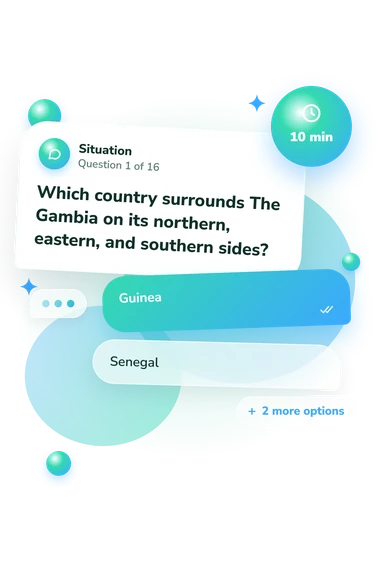
Example Questions From the Test
- Guinea
- Senegal
- Mauritania
- Guinea-Bissau
- Nigeria
- Togo
- Côte d’Ivoire
- Ghana
- Benin
- Mali
- Ghana
- Nigeria
West Africa Map Quiz - Description and methodology of the test
For people reviewing West African country locations, borders, and coastlines, the West Africa Map Quiz checks current familiarity with these relationships. It is useful when you want a regional geography review rather than a broad world-knowledge survey. The regional focus makes this a clear map quiz about western Africa, while the result shows which parts of your map knowledge may deserve further practice.
What This Quiz Measures
These items measure practical location knowledge: recognizing where countries sit in relation to one another, identifying Atlantic and Gulf of Guinea coastlines, and using border clues to infer a missing country. The emphasis is spatial rather than historical: you read directional language and neighboring states to identify a place. The result reflects how consistently you connect country names with position, adjacency, and coastline in this quiz about West Africa.
The result has three levels. West Africa Knowledge (0-16) counts correct answers and is interpreted through these bands:
- Building Foundations (0-6) indicates recognition of some locations, with review useful for West Africa’s coast, inland states, and neighboring countries.
- Developing Map Knowledge (7-12) shows that many countries and border clues are placed correctly, although some gaps remain.
- Strong Regional Knowledge (13-16) indicates interpretation of most or all of the region’s spatial relationships.
Methodology and Evidence Base
Each prompt presents a geographic clue and four answer choices. Questions cover surrounding countries, landlocked positions, coastal sequences, island states, and a country almost enclosed by another. Success requires directional language and map memory. The score counts correct responses; each item tests a specific spatial relationship such as adjacency, direction, or coastline.
Methodologically, the quiz is conceptually consistent with Location Knowledge (Dunn, 2011), which treats place and spatial relations as assessable geography learning. Its borders and relative-position focus also overlaps with Huynh and Sharpe (2013) on geospatial thinking. These sources support the skills sampled here; they do not make this questionnaire an adaptation of either instrument. Because it targets one region, this quiz is best understood as a focused quiz on western Africa that applies related ideas, not a standardized reproduction.
Interpret the bands as performance on this set of locations, not as population norms. This online questionnaire has no stated norm group or reliability estimate, and results may shift with prior study, map familiarity, attention, or uncertainty between neighboring countries. It is most useful for identifying review priorities; broader spatial reasoning would require tasks beyond this assessment.
- James M. Dunn. (2011). Location Knowledge: Assessment, Spatial Thinking, and New National Geography Standards. Journal of Geography, 110(2), 81-89. 10.1080/00221341.2010.511243
- Niem Tu Huynh and Bob Sharpe. (2013). An Assessment Instrument to Measure Geospatial Thinking Expertise. Journal of Geography, 112(1), 3-17. 10.1080/00221341.2012.682227