
Indian Geography Quiz
How the Scales are Structured
Who Usually Takes This Test?
See How You Compare
Below is a preview of how scores are typically distributed across each scale.
Example Questions From the Test
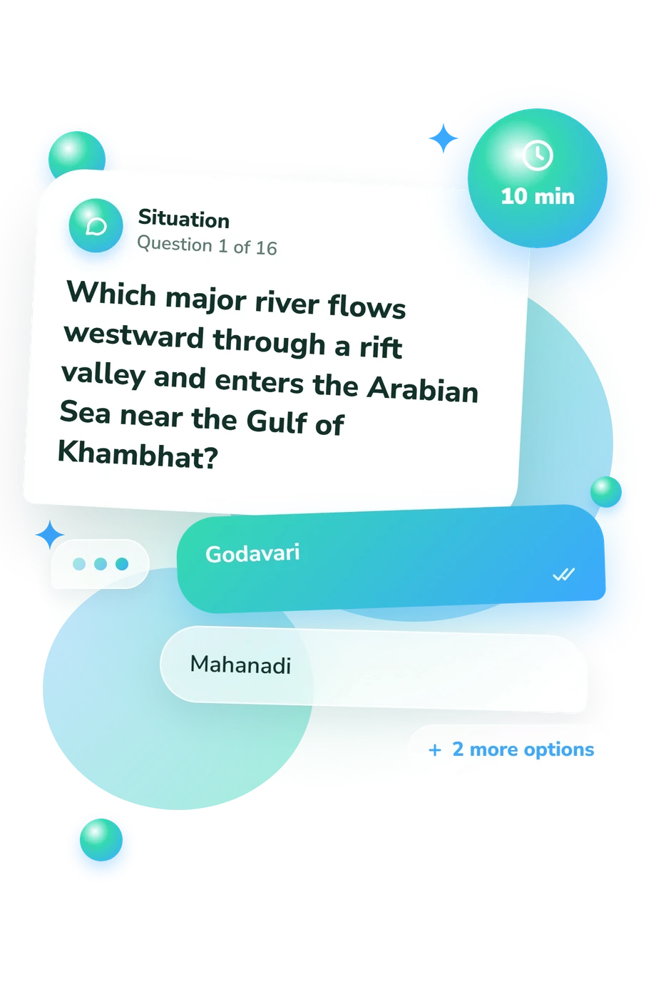
- Godavari
- Mahanadi
- Narmada
- Kaveri
- Lakshadweep
- The Andaman and Nicobar Islands
- The Gulf of Mannar islands
- The Maldives
- Gujarat
- Haryana
- Madhya Pradesh
- Rajasthan
Indian Geography Quiz - Description and methodology of the test
People who want a picture of how well they recognize India's physical and human geography can use the Indian Geography Quiz as a knowledge check. It suits learners, travelers, and readers who want to connect names with locations rather than rely on isolated facts. As a quiz on geography of India, it turns map knowledge into a profile of strengths and topics that may merit further study.
What This Assessment Explores
The questions connect river courses, mountain systems, state locations, coastlines, islands, borders, directions, and climate-linked landforms. They ask readers to identify features, place them within regions, and interpret short geographic clues. Together, these India geography questions reveal how well core facts are organized spatially.
The main topic groups represented are:
- Rivers and deltas show whether waterways are linked to the right courses and regions.
- Relief and landforms reveal recognition of plateaus, mountains, deserts, valleys, and rain shadows.
- States and locations measure how confidently cities and physical features are placed on the map.
- Coasts, islands, borders, and directions test orientation around India and its neighbors.
The single displayed scale is Indian Geography Knowledge (0-16). Its bands are Foundations to build (0-6), Developing knowledge (7-12), and Strong knowledge (13-16). Together, they describe performance on these tasks, not a fixed identity or permanent ability.
Methodology and Evidence Base
Each item presents a geographic prompt with four answer choices. Some require recognition; others call for spatial inference, such as linking a river to its basin or rainfall differences to relief. The format tests organized geographic knowledge rather than preferences or self-description.
The answer-based format makes this quiz about Indian geography with answers useful for targeted review. Responses are consolidated into the displayed result scale; no separate weighting rule is stated, so its bands are descriptive rather than universal proficiency standards. A higher band signals stronger performance, while a lower band identifies topics to revisit.
Conceptually, the content is consistent with the NCERT geography textbook (2022), which presents India through relief, drainage, climate, soils, and regional patterns. Tandon, Chakraborty, and Singh (2014) add geological and tectonic context, while Husain (2020) provides a regional reference. These sources support the subject matter, but the questionnaire is not a standardized adaptation of any one source.
Performance can vary with prior study, map familiarity, wording, attention, and current context. Treat the result as a snapshot for revision, not a permanent measure of geographic ability.
- National Council of Educational Research and Training. India: Physical Environment: Textbook in Geography for Class XI. Revised ed., rationalised 2023-24. New Delhi: NCERT, 2022. ISBN 81-7450-538-5.
- Tandon, Sampat K., Partha Pratim Chakraborty, and Vimal Singh. “Geological and Tectonic Framework of India: Providing Context to Geomorphologic Development.” In Landscapes and Landforms of India, edited by Vishwas S. Kale, 3-14. Dordrecht: Springer, 2014. DOI 10.1007/978-94-017-8029-2_1.
- Husain, Majid. Geography of India. 8th ed. New Delhi: McGraw Hill Education (India), 2020. ISBN 9789353167899.
Updated: