
UK Geography Quiz
How the Scales are Structured
Who Usually Takes This Test?
See How You Compare
Below is a preview of how scores are typically distributed across each scale.
Example Questions From the Test
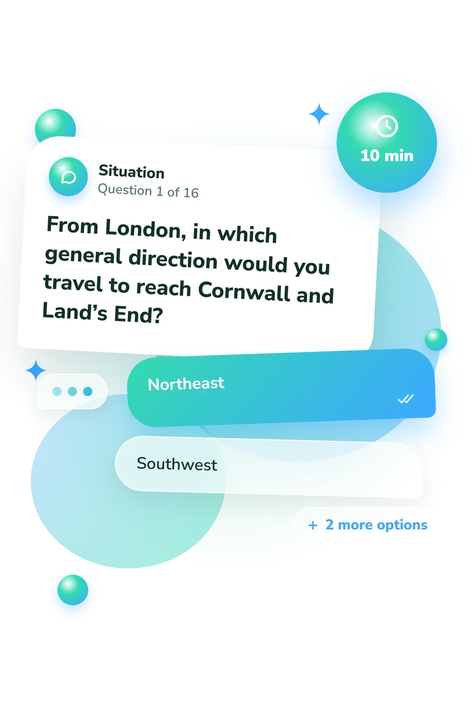
- Northeast
- Southwest
- Southeast
- Northwest
- The north coast
- The east coast
- The west coast
- The southwest coast
- England
- Scotland
- Northern Ireland
- Wales
UK Geography Quiz - Description and methodology of the test
People who want to check how confidently they locate the United Kingdom’s countries, cities, landscapes, and waters can use the UK Geography Quiz as a focused learning activity. As a britain geography quiz for learners, it suits students, travellers, teachers, and curious adults who want practical place knowledge. The result indicates an overall knowledge band and whether further review may help.
What This Assessment Explores
The questions connect names, locations, directions, borders, and physical features throughout the UK. As a British geography quiz, it covers constituent countries, capitals, regions, islands, uplands, rivers, channels, and seas. Items require spatial clues, including travel from London and landmarks linked with cities.
It suits learners and adults revisiting core knowledge. A missed capital, coastal relationship, or landform can suggest a specific review topic.
These question themes contribute to one overall knowledge result:
- Political geography shows recognition of countries, capitals, and internal borders.
- Regional geography connects named places with broad areas and distinctive landscapes.
- Physical geography covers uplands, rivers, islands, channels, and surrounding seas.
UK Geography Knowledge (0-16) summarizes correct answers: Building Foundations (0-6) indicates basics to review; Developing Knowledge (7-12) shows a geographic picture with relationships to consolidate; Strong Knowledge (13-16) reflects recognition and confident spatial reasoning.
Methodology and Evidence Base
Each item presents a direct question or geographic situation with four answer choices. The format combines recall with application: identifying a capital matters, but so does using a coast, route, river, or landform as evidence. The displayed total summarizes correct responses, describing performance on this questionnaire rather than a norm-referenced qualification.
Conceptually, the UK geography test is consistent with Dunn’s 2011 work on location knowledge and spatial thinking, but it is not an adaptation of that published work. The questionnaire is an online, non-standardized knowledge check with descriptive bands rather than population norms; it is not a validated measure for formal qualification or diagnosis.
Interpret the result as a snapshot of current knowledge. Attention, memory, unfamiliar place names, testing context, and guessing can affect the total. Use the answer pattern to guide revision, treating the result as one piece of broader learning evidence.
- Dunn, James M. (2011). Location Knowledge: Assessment, Spatial Thinking, and New National Geography Standards. Journal of Geography, 110(2), 81-89. 10.1080/00221341.2010.511243
- Matthews, Hugh, and Vince Gardiner, eds. (2000). The Changing Geography of the UK (3rd ed.). Routledge.
- Wertheim, Jill A., Daniel Choy Edelson, and The Road Map Project Assessment Committee. (2013). A Road Map for Improving Geography Assessment. The Geography Teacher, 10(1), 15-21. 10.1080/19338341.2012.758044
- Lane, Rod, and Terri Bourke. (2019). Assessment in Geography Education: A Systematic Review. International Research in Geographical and Environmental Education, 28(1), 22-36. 10.1080/10382046.2017.1385348
Updated: