
Seas of the World Quiz
How the Scales are Structured
Who Usually Takes This Test?
See How You Compare
Below is a preview of how scores are typically distributed across each scale.
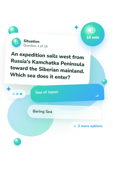
Example Questions From the Test
- Sea of Japan
- Bering Sea
- Yellow Sea
- Sea of Okhotsk
- Mediterranean Sea
- Arabian Sea
- Andaman Sea
- Black Sea
- Bering Sea
- Beaufort Sea
- Labrador Sea
- Chukchi Sea
Seas of the World Quiz - Description and methodology of the test
People who enjoy geography, travel, maps, or maritime history can use the Seas of the World Quiz to check how confidently they recognize seas in relation to coastlines, straits, islands, and neighboring regions. It suits learners who want a sea geography quiz focused on geographic connections rather than a broad geography survey. The result summarizes current factual knowledge and suggests topics worth revisiting.
What This Assessment Explores
This questionnaire measures recognition of seas through geographic context rather than isolated name recall. Items place vessels, coastlines, straits, island groups, or neighboring countries near water and ask which sea fits. The result reflects boundaries, routes, and regional position.
The question themes are:
- Items identify a sea by its position between countries, peninsulas, islands, or larger waters.
- Other prompts distinguish neighboring seas through coastlines, passages, currents, and routes.
- Some questions connect each sea with geographic relationships that define or surround it.
This structure suits readers building map knowledge or checking recall after study. A strong result on this world seas quiz indicates accurate identification across varied clues; a lower result highlights topics for review. The scale is Seas of the World Knowledge (0-16): Emerging Explorer (0-6), Developing Navigator (7-12), and World Seas Expert (13-16).
Methodology and Evidence Base
Each item presents a geographic scenario or question with four answer choices. Selecting one option tests recognition among plausible alternatives rather than written recall. Prompts use locations, boundaries, passages, currents, and regional relationships, rewarding connections among clues.
The assessment uses a seas of the world map quiz format to encourage spatial reasoning from descriptions. The result reports performance on the displayed knowledge scale; how individual answers are converted into that score is unspecified. It represents performance on this knowledge sample, not practical navigation or skill with an unlabeled map.
De Witte et al. (2024) report a factual-learning study linking geography learning with spatial abilities. This questionnaire is conceptually consistent with that focus, but it is not the study's instrument or an adaptation of it. The International Hydrographic Organization's S-23 provides background on certain ocean and sea limits, not every question.
Interpret scores alongside education, travel experience, language familiarity, study, and confidence with geographic visualization. The result bands describe performance on this questionnaire; they should not be treated as population norms or evidence of independently validated ability.
- Benjamin De Witte, Vincent Reynaert, Jerome Hutain, Danny Kieken, Joseph Jabbour, and Jalal Possik. “Immersive learning of factual knowledge while assessing the influence of cognitive load and spatial abilities.” Computers & Education: X Reality 5 (2024): 100085. 10.1016/j.cexr.2024.100085
- International Hydrographic Organization. Limits of Oceans and Seas. Special Publication No. 23, 3rd ed. Monaco: International Hydrographic Organization, 1953.