
French Regions Quiz
How the Scales are Structured
Who Usually Takes This Test?
See How You Compare
Below is a preview of how scores are typically distributed across each scale.
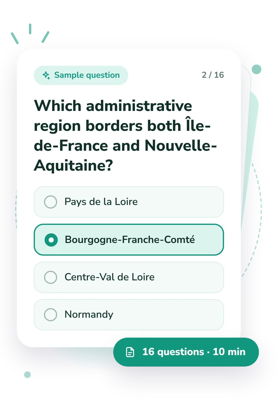
Example Questions From the Test
- Nouvelle-Aquitaine
- Occitanie
- Provence-Alpes-Côte d’Azur
- Auvergne-Rhône-Alpes
- Pays de la Loire
- Bourgogne-Franche-Comté
- Centre-Val de Loire
- Normandy
- Nouvelle-Aquitaine
- Occitanie
- Pays de la Loire
- Centre-Val de Loire
French Regions Quiz - Description and methodology of the test
Travelers, students, and curious learners can use the French Regions Quiz to check their confidence with France’s administrative geography and build a clearer mental map. Taking this France map quiz offers a quick way to revisit place relationships, connect classroom or travel knowledge, and see how the overall result reflects current performance.
What This Assessment Explores
The questions assess regional-geography knowledge through places, capitals, borders, travel routes, and overseas territories. Together, they test how well a learner connects geographic names with current administrative regions.
The main dimensions represented are:
- Regional identification shows whether you place cities and destinations in the correct administrative region.
- Capital recognition measures how accurately you connect regional seats with their jurisdictions.
- Border reasoning tests whether you can use neighboring regions and routes to infer location.
- Overseas location knowledge shows whether your mental map extends beyond metropolitan France.
The result is reported on the French Regions Knowledge scale, which runs from 0 to 16. Scores of 0-6 are Foundations to Build, 7-12 are Developing Knowledge, and 13-16 are Strong Knowledge. This quiz about the regions of France emphasizes practical recognition, while the single band summarizes performance across the questions.
Methodology and Evidence Base
The format combines direct location questions with short travel and city scenarios. Each item offers four answer choices, requiring selection of the best-supported region rather than a written response. Together, they form a map quiz focused on French regions, using spatial relationships, city-region associations, and overseas locations.
Geographic accuracy in this France regions quiz rests on the Official Geographic Code (INSEE), which supplies administrative names and relationships. The Conseil d’État account of the new regional map clarifies the reform, while Antunez, Baccaïni, Guérois, and Ysebaert provide contextual background on territorial discontinuities rather than evidence about geographic knowledge. Research by Uttal on map use and spatial cognition offers a relevant conceptual reference for French regional-map questions, not a validation study for this questionnaire.
As a quiz covering France’s regions, it awards one point for each correct answer, and the total gives an overall snapshot of performance. The displayed bands are descriptive quiz levels, not separate subscale results. Performance can vary with schooling, travel experience, language, and momentary recall, so the score is best read as a snapshot of current knowledge.
- Institut national de la statistique et des études économiques (INSEE). Official Geographic Code. 2026.
- Kim Antunez, Brigitte Baccaïni, Marianne Guérois, and Ronan Ysebaert. "Disparities and Territorial Discontinuities in France with Its New Regions: A Multiscalar and Multidimensional Interpretation." Economics and Statistics, no. 497-498, 2017, pp. 19-41. 10.24187/ecostat.2017.497d.1928
- Conseil d'État. "The Territorial Organisation of the Republic: The New Map of the Regions." Annual Report 2014, 2015.
Updated: