
Middle East Bodies of Water Quiz
How the Scales are Structured
Who Usually Takes This Test?
See How You Compare
Below is a preview of how scores are typically distributed across each scale.
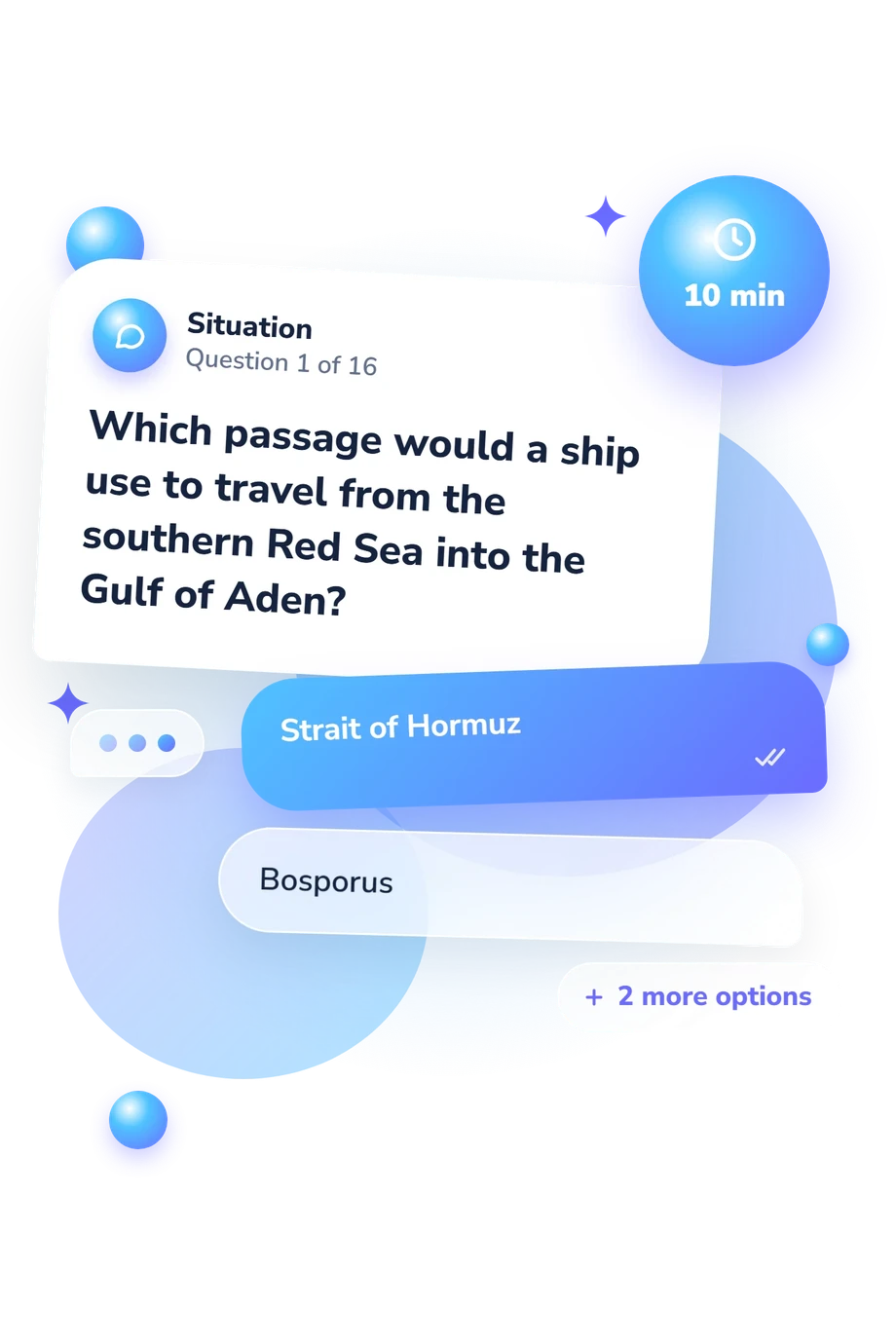
Example Questions From the Test
- Strait of Hormuz
- Bosporus
- Bab el-Mandeb
- Dardanelles
- Bab el-Mandeb, then the Gulf of Aden
- Strait of Hormuz, then the Gulf of Oman
- Suez Canal, then the Red Sea
- Dardanelles, then the Aegean Sea
- Bosporus
- Strait of Hormuz
- Shatt al-Arab
- Suez Canal
Middle East Bodies of Water Quiz - Description and methodology of the test
Students, travelers, and curious learners can use this assessment when deciding whether their regional geography knowledge is ready for study or travel. The Middle East Bodies of Water Quiz offers a focused way to make that decision. Its concise multiple-choice format lets readers test familiarity with the region before choosing what to review. As a Middle East map quiz with bodies of water, it serves as a practical self-check.
What This Assessment Explores
This assessment measures knowledge of major Middle Eastern bodies of water and recognition of their spatial connections. Items ask where features lie, what borders them, which waterways link bodies, or where rivers end. It suits geography learners and adults checking maps.
The themes are:
- Seas and gulfs show whether neighboring coastal waters are distinguished.
- Straits and passages show whether maritime connections are traced correctly.
- Lakes and inland waters show whether inland features are placed accurately.
- Following rivers and routes tests connected-waterway knowledge in this Middle East rivers quiz.
The displayed scale, Middle East Bodies of Water Knowledge: 0-16, summarizes knowledge of Middle Eastern bodies of water and their spatial connections. Emerging foundation 0-6 indicates recognition; Developing knowledge 7-12 reflects understanding of many locations and routes; Strong knowledge 13-16 reflects a well-developed grasp of waterways and physical geography.
Methodology and Evidence Base
Each item offers four multiple-choice alternatives and asks for a location, connection, direction, or destination. The respondent selects the option that best fits the relationship described. The result is reported on the displayed 0-16 scale; no more detailed weighting or conversion rule is stated.
The content is conceptually consistent with the Cambridge Atlas, a reference for the seas, gulfs, lakes, and routes named here. Rodrigue’s work supports attention to maritime chokepoints, while Beaumont and colleagues’ text supports the physical-geography context. These sources support the subject matter, but this is an online geography knowledge questionnaire, not a published standardized instrument. Questions linking waterways give this Middle East water map quiz its focus on factual recognition and spatial connections.
The assessment has no standardized norming, reported reliability, or independent validity evidence, so its displayed score is descriptive. It summarizes performance across the tested relationships and may indicate whether broader review would help. The Middle East water quiz format depends on unaided responses, so prior study, map familiarity, wording, and momentary attention can affect performance. The score describes knowledge, not a fixed level.
- Blake, Gerald H., John C. Dewdney, and Jonathan Mitchell, editors. The Cambridge Atlas of the Middle East and North Africa. Cambridge University Press, 1987. ISBN 0-521-24243-6.
- Rodrigue, Jean-Paul. “Straits, Passages and Chokepoints: A Maritime Geostrategy of Petroleum Distribution.” Cahiers de géographie du Québec, vol. 48, no. 135, 2004, pp. 357-374. 10.7202/011797ar.
- Beaumont, Peter, Gerald H. Blake, and J. Malcolm Wagstaff. The Middle East: A Geographical Study. 2nd ed., David Fulton Publishers, 1988. ISBN 1-85346-093-1.
Updated: