
220 Countries Quiz
How the Scales are Structured
Who Usually Takes This Test?
See How You Compare
Below is a preview of how scores are typically distributed across each scale.
Example Questions From the Test
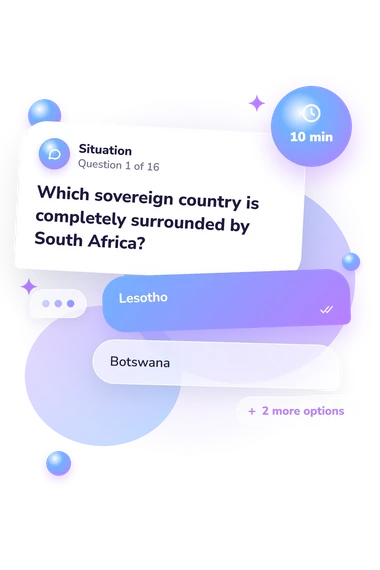
- Lesotho
- Botswana
- Eswatini
- Namibia
- San Marino
- Liechtenstein
- Andorra
- Luxembourg
- The Cayman Islands
- Puerto Rico
- Aruba
- Martinique
220 Countries Quiz - Description and methodology of the test
For readers who want to check practical world geography, the 220 countries quiz offers a focused way to understand their overall performance on varied location clues. It suits learners, travelers, and curious adults who want a concise knowledge snapshot for self-reflection rather than a lesson or personality assessment. The countries and territories quiz can show how confidently you handle the situations represented here.
What This Assessment Explores
This assessment examines geographic knowledge across sovereign countries and politically associated territories. The items ask you to connect capitals with places, identify island and landlocked states, follow borders and coastlines, and distinguish countries from territories linked to another state. The all countries and territories quiz covers places worldwide through a sample, not an exhaustive inventory.
These cover four kinds of geographic clue:
- Country identification shows whether you can recognize a state from its location or description.
- Political status shows whether you can identify territories associated with another sovereign country.
- Capitals and destinations measure links between cities and the places they represent.
- Islands, borders, and routes show how you interpret landmasses, straits, and coastlines.
Together, these themes describe sampled question content rather than separate result dimensions. The overall score reflects performance across the clues, not a particular region or relationship for review.
Methodology and Scientific Basis
Each item presents a geographic prompt with four answer choices, asking the respondent to select the place or relationship that fits. The displayed scale, World Countries and Territories Knowledge, runs from 0-16, with one point for each correct answer. The bands are Foundation (0-6), Developing (7-12), and Strong (13-16).
Recognition and relationships are central to this countries and territories of the world quiz, rather than to a complete inventory. The score is a snapshot of performance, not a measure of intelligence or geographic knowledge as a whole.
The closest conceptual precedent is the 1988 Gallup geography survey, which tested practical geographic knowledge. Its relationship to that survey is conceptual: both address practical geographic knowledge. Friedman and deWinstanley (2006) describe country knowledge as an organized mental representation, while Crutch, Randlesome, and Warrington (2007) show that country and map knowledge vary with the task.
The displayed bands organize the overall score within this questionnaire's stated ranges; the result is a descriptive snapshot rather than a standardized population measure. Performance may reflect education, travel, language, map exposure, or regional familiarity, so read it as performance on the clues sampled here.
- The Gallup Organization, Inc. (1988). Geography: An International Gallup Survey. Survey of Findings. Princeton, NJ: The Gallup Organization, Inc.
- Friedman, William J., and Patricia A. deWinstanley. (2006). The mental representation of countries. Memory, 14(7), 853-871. 10.1080/09658210600782925
- Crutch, Sebastian J., Katy Randlesome, and Elizabeth K. Warrington. (2007). The variability of country map knowledge in normal and aphasic subjects: Evidence from two new category-specific screening tests. Journal of Neuropsychology, 1(2), 171-187. 10.1348/174866407X194364
Updated: