
Russia Map Quiz
How the Scales are Structured
Who Usually Takes This Test?
See How You Compare
Below is a preview of how scores are typically distributed across each scale.
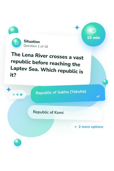
Example Questions From the Test
- Republic of Sakha (Yakutia)
- Republic of Komi
- Republic of Buryatia
- Republic of Khakassia
- Republic of Karelia
- Leningrad Oblast
- Kaliningrad Oblast
- Pskov Oblast
- Republic of Kalmykia
- Republic of Dagestan
- Republic of North Ossetia–Alania
- Chechen Republic
Russia Map Quiz - Description and methodology of the test
People who want to check their knowledge of Russia’s geography can use the Russia Map Quiz to practise identifying locations from concise clues. It is suitable for learners, travelers, and anyone building a clearer mental map of the country. This Russian map quiz gives an overall indication of map knowledge, while missed items offer informal prompts for review.
What This Assessment Explores
This assessment measures geographic location knowledge: connecting regions with rivers, seas, borders, cities, and neighboring countries. It suits anyone testing how clearly Russia’s territory is organized in memory.
The questions group into four topic areas:
- Questions about federal subjects ask you to identify republics, oblasts, krais, and federal cities.
- Physical-feature clues ask you to identify rivers, lakes, seas, and peninsulas.
- Border and exclave questions ask you to locate Russia’s international edges.
- City and coastal clues ask you to connect landmarks with their surrounding regions.
A quiz about Russian federal subjects combines political and physical geography. Russia Map Knowledge runs from 0-16: Building Your Map (0-6) means some major places are recognized but connections remain difficult; Developing Navigator (7-12) shows useful regional grasp with gaps; Strong Russia Geographer (13-16) shows accurate handling of most regional, border, and physical-geography clues.
Methodology and Evidence Base
Each item presents a clue with four answer choices. Although recognition-based, prompts require relational reasoning, such as connecting a river with its basin, a city with a coast, or a border region with a neighboring country. Results are displayed on one overall scale with three performance bands; the questionnaire does not document how individual answers are weighted.
The evidence relates primarily to place-name and location-knowledge research. Mason and Blankenship (1988) emphasize the educational role of place-name geography, while Torrens (2001) examines factors associated with location knowledge. Koç and Demir (2014) discuss geographic representation and interpretation, offering a narrower connection to map literacy rather than evidence that this text-based questionnaire measures map-reading skill.
This Russia political map quiz asks you to place regions, borders, and cities within the country’s geographic layout. The displayed bands do not establish population norms or universally comparable cutoffs; schooling, travel experience, language familiarity, and momentary attention can affect results. The score therefore summarizes these tasks rather than every aspect of geographic knowledge.
- Mason, Mary T., and Glen Blankenship. (1988). Where in the World? The Status of Place-Name Geography Instruction. The Journal of Social Studies Research, 12(1), 1-7. 10.1177/235227981988012001001
- Torrens, Paul M. (2001). Where in the world? Exploring the factors driving place location knowledge among secondary level students in Dublin, Ireland. Journal of Geography, 100(2), 49-60. 10.1080/00221340108978417
- Koç, Hakan, and Selçuk Beşir Demir. (2014). Developing Valid and Reliable Map Literacy Scale. Review of International Geographical Education Online, 4(2), 120-137.