
North Africa and Southwest Asia Map Quiz
How the Scales are Structured
Who Usually Takes This Test?
See How You Compare
Below is a preview of how scores are typically distributed across each scale.
Example Questions From the Test
- Jordan
- Iraq
- Saudi Arabia
- Kuwait
- Strait of Hormuz
- Bab el-Mandeb
- Strait of Gibraltar
- Bosporus
- Saudi Arabia
- Yemen
- Iraq
- Oman
North Africa and Southwest Asia Map Quiz - Description and methodology of the test
Learners and travelers may take the North Africa and Southwest Asia Map Quiz when they want a focused way to prepare for regional study, travel planning, or classroom review. It gives them a structured opportunity to reinforce prior learning through regional relationships, making this a practical North Africa Southwest Asia map quiz.
What This Assessment Explores
The questions examine map knowledge across countries, borders, coastlines, straits, seas, and landforms. Clues emphasize relationships: a place is identified through surrounding features, connections, or its position along a route. Because this questionnaire is a quiz covering North Africa and Southwest Asia, it checks whether memorized names form a usable mental map.
The main result themes are:
- Country and border recognition shows how accurately you connect states with neighbors and positions.
- Coastline and waterway orientation indicates how well seas, gulfs, and straits guide location judgments.
- Physical-geography placement reveals whether landforms and river features occupy the right setting.
Together, these themes produce North Africa and Southwest Asia Map Knowledge (0-16): Building the map (0-6) reflects emerging recognition, Developing navigator (7-12) reflects a secure mental map, and Strong regional knowledge (13-16) reflects connections among countries, waterways, and landforms.
Methodology and Scientific Basis
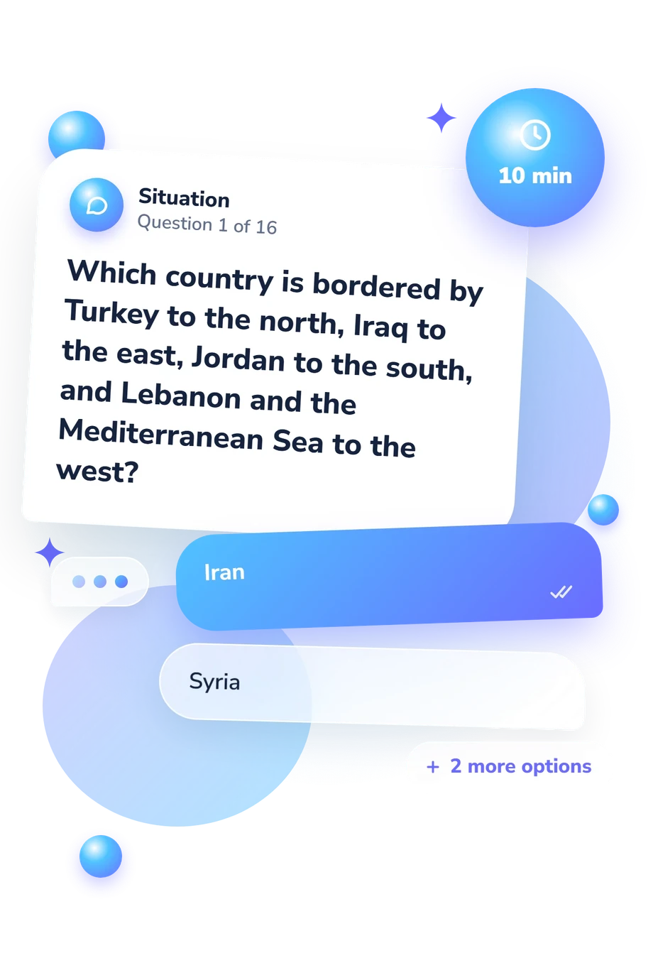
Each item presents a geographic clue with four answer choices. Respondents identify a country or feature by comparing borders, relative position, coastline, or movement between waterways. The format combines recognition with spatial reasoning: answers depend on relationships among places rather than isolated facts. The result is presented on the displayed scale through the catalogue's interpretive categories.
Because this questionnaire is a map quiz about northern Africa and Southwest Asia, learners coordinate location, direction, adjacency, and physical geography. It is conceptually consistent with the Spatial Thinking Ability Test (STAT), a multiple-choice framework for examining spatial thinking through task types. This quiz is not an adaptation of STAT; the connection is methodological.
A mental-map study offers the closest conceptual comparison: it treats geographic knowledge as organized relationships among places, a perspective that matches how this quiz asks about adjacency, routes, and position. Its questions connect countries with coasts, straits, seas, and landforms rather than treating names as isolated facts. Scores may reflect recent study, familiarity with geographic names, attention, and guessing; use them to choose review topics and track learning over time.
- Lee, Jongwon, and Robert Bednarz. "Components of Spatial Thinking: Evidence from a Spatial Thinking Ability Test." Journal of Geography 111, no. 1 (2012): 15-26. 10.1080/00221341.2011.583262
- Binimelis Sebastián, Jaume, Carla Pla-Sanchís, Julián Serrano-Varón, and Marta Sánchez Casado. "The Use of Mental Maps in the Assessment of Geographic Knowledge: Form and Content of Map Sketches Drawn by Last Year Primary Education Students in the Balearic Islands (Spain)." Geographia Polonica 96, no. 2 (2023): 279-297. 10.7163/GPol.0256
- Berglee, Royal. World Regional Geography: People, Places and Globalization. University of Minnesota Libraries Publishing, 2016. 10.24926/8668.2701
Updated: