
Brazil States Quiz
How the Scales are Structured
Who Usually Takes This Test?
See How You Compare
Below is a preview of how scores are typically distributed across each scale.
Example Questions From the Test
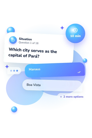
- Manaus
- Boa Vista
- Macapá
- Belém
- North
- Center-West
- Northeast
- Southeast
- Amazonas
- Pará
- Acre
- Roraima
Brazil States Quiz - Description and methodology of the test
People who want to check their command of Brazilian geography can use the Brazil States Quiz as a practical way to organize revision before travel or study. The Brazil map quiz offers a clear way to turn scattered facts into a revision plan before a trip, study session, or lesson. It suits learners, travelers, teachers, and anyone who wants to test recall against place-based questions.
What This Test Measures
The questions focus on placing selected states within Brazil’s five official regions and linking states and cities that appear in addresses, travel routes, and capital-city references. They also test state capitals, abbreviations such as MG and DF, coastal access, neighboring states, and spatial relationships between destinations. As a quiz about the states of Brazil, it links separate facts into a usable geographic framework.
The result is reported on Brazil States Knowledge (0-16), which counts correct answers. It is divided into these displayed bands:
- Foundations to build (0-6) indicates recognition of some key places, with review useful for regions, capitals, and abbreviations.
- Developing knowledge (7-12) shows a workable geographic framework, while gaps may remain in borders, capitals, or regional membership.
- Strong knowledge (13-16) reflects a well-developed command of states, regions, capitals, and spatial relationships.
Methodology and Evidence Base
Each item presents a geographic prompt with four answer choices. The set combines direct capital questions with applied situations about regional membership, abbreviations, borders, coastlines, and routes between cities, so the task functions as a Brazil geography quiz that joins recall with simple map-based reasoning.
Scoring is the number of questions answered correctly. The result therefore describes factual performance on this questionnaire rather than a personality trait or a complete measure of geographic education.
Its content is traceable to IBGE political mapping. The educational studies by Cruz and Carrieri and by Araújo show how the idea of region can organize geography learning. The questionnaire is conceptually consistent with these sources, not an adaptation of any one published instrument.
The displayed bands are descriptive categories based on correct answers, not population norms or established diagnostic cutoffs. The result of this Brazilian states quiz is limited to the factual content sampled by these items and may reflect prior schooling, travel experience, familiarity with abbreviations, and current attention; it is best read as a snapshot that helps identify useful topics to review.
- Instituto Brasileiro de Geografia e Estatística. Political Map of Brazil, 1:5,000,000 Scale, 2023 Version. Rio de Janeiro: IBGE, 2024.
- Instituto Brasileiro de Geografia e Estatística. Regional Division of Brazil into Immediate and Intermediate Geographic Regions: 2017. Rio de Janeiro: IBGE, 2017.
- Cruz, Diego Martins da, and Raquel Augusta Melilo Carrieri. The Use of the Analytical Category “Region” as a Tool for Understanding Geographical Situations: Some Experiences with Basic Education Students. Pesquisar, vol. 7, no. 12, 2020, pp. 39-51.
- Araújo, Gilvan Charles Cerqueira de. Brazilian Regionalizations in the 7th Grade of Elementary School in the Federal District. Geosaberes, vol. 9, no. 18, 2018, pp. 1-12. 10.26895/geosaberes.v9i18.636