
Spain Map Quiz
How the Scales are Structured
Who Usually Takes This Test?
See How You Compare
Below is a preview of how scores are typically distributed across each scale.
Example Questions From the Test
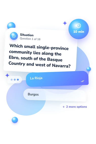
- La Rioja
- Burgos
- Zaragoza
- Álava
- Castellón
- Girona
- Valencia
- Tarragona
- Teruel
- Zaragoza
- Huesca
- Lleida
Spain Map Quiz - Description and methodology of the test
Whether you are revising regional geography, checking your orientation skills, or simply curious about Spain’s territorial layout, this assessment is designed for learners and general readers who want to connect provinces with borders, coasts, and autonomous communities. The Spain Map Quiz turns that purpose into a focused check of geographic knowledge. As a spain geography quiz, it can show which relationships feel secure and which deserve review.
What This Questionnaire Measures
The questions assess practical map knowledge through coastal positions, neighboring territories, national borders, autonomous communities, rivers, directions, and capital-city clues. For readers treating it as a spain regions quiz, these prompts show which kinds of geographic evidence are easiest to use.
The result is organized around three recurring kinds of location evidence:
- Coastal position shows whether you can follow Mediterranean, Atlantic, and Bay of Biscay locations.
- Borders and neighbors show how you connect provinces with regions, countries, and special territories.
- Regional context shows whether rivers, capitals, directions, and territorial groupings help you identify a province.
Spain Map Knowledge (0-16) counts correct answers. Foundations forming (0-6) marks emerging familiarity, Developing map knowledge (7-12) reflects partial command, and Strong map knowledge (13-16) indicates accurate province placement from borders, coasts, neighbors, and regional context. The result is text-based, not interactive.
Methodology and Evidence Base
Each question presents a geographic clue with four answer choices. Solving it as a spain autonomous communities quiz means reasoning from written relationships among provinces and communities, rather than moving labels on an interactive map.
The scoring logic is direct: the total records how many answers are correct. Performance may reflect prior study, familiarity with Spanish place-names, attention to wording, and guessing, so the result describes this questionnaire rather than geographic literacy as a whole. A regions of spain quiz interpretation is useful when it points toward topics for further study.
The questionnaire is conceptually consistent with Binimelis-Sebastián et al. (2023), whose mental-map research examined knowledge of Spain’s territorial organization. It is also consistent with García-González et al. (2023), which examined geographic literacy through mental maps. These studies support the focus on provinces, boundaries, and spatial relationships, but this questionnaire is not an adaptation of either instrument.
No standardized norms or clinical interpretation are established for this online questionnaire. Results can vary with concentration and recent exposure to Spanish geography, so the score is best read as focused self-reflection rather than a definitive measure of broader knowledge.
- Binimelis-Sebastián, Jaume, Gómez Trigueros, Isabel María, Gómez Gonçalves, Alejandro, and García González, Juan Antonio. (2023). Assessment of future teachers’ geographic knowledge of the territorial organization of Spain using mental maps. International Research in Geographical and Environmental Education, 32(4), 288-304. 10.1080/10382046.2023.2201758
- García-González, Juan Antonio, Gómez-Gonçalves, Alejandro, Gómez-Trigueros, Isabel María, and Sebastián, Jaume Binimelis. (2023). Geographic literacy in Spain with mental maps. Journal of Geography in Higher Education, 47(1), 85-105. 10.1080/03098265.2021.2001643