
English Counties Quiz
How the Scales are Structured
Who Usually Takes This Test?
See How You Compare
Below is a preview of how scores are typically distributed across each scale.
Example Questions From the Test
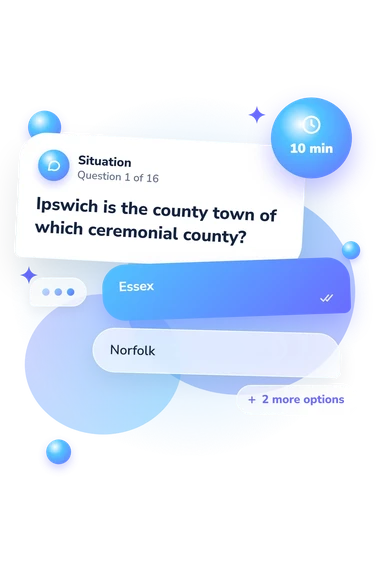
- Essex
- Norfolk
- Suffolk
- Cambridgeshire
- Kent
- West Sussex
- Essex
- East Sussex
- Bedfordshire
- Cambridgeshire
- Hertfordshire
- Northamptonshire
English Counties Quiz - Description and methodology of the test
Designed for learners, travellers, and anyone refreshing their knowledge of England’s geography, the English Counties Quiz offers a focused way to examine how ceremonial counties connect places, landmarks, and borders. It also works as an England map quiz in words, turning familiar names into location-based decisions and showing which parts of county geography are easiest or hardest for you.
What This Assessment Explores
These questions test practical geographic recognition: where cities belong ceremonially, which counties contain landmarks, and how neighbouring counties connect. As a counties of England quiz, it suits general readers checking geographic knowledge without specialist background.
The displayed English Counties Knowledge scale runs from 0-16 and summarizes knowledge of English ceremonial counties, including cities, landmarks, boundaries, and relative locations. Bands are Emerging (0-6), Developing (7-12), and Strong (13-16).
The questions cover:
- County and city recognition shows whether you link major places to their ceremonial county.
- Landmark knowledge indicates whether destinations help you identify a region.
- Boundary awareness reflects understanding of direct county neighbours and routes.
- Relative location shows how well you place counties around one another.
Taken together, the result offers a concise snapshot of the geographic relationships tested by this England counties quiz.
Methodology and Scientific Basis
Each item presents a geographic prompt with four answer choices. The situations cover city-county associations, landmarks, journeys across borders, and relative position, so they test recognition and relationship reasoning rather than extended written responses. The UK counties quiz format is straightforward, although guessing can affect a result.
The questionnaire reports one overall knowledge score, not separate personality or clinical categories. Interpretation is descriptive: a higher result indicates broader knowledge within the tested content, while a lower result highlights topics for review. Reading the outcome alongside the questions can show which relationships felt familiar or uncertain.
Content is conceptually consistent with Ordnance Survey ceremonial county boundaries and the legal framework of the Lieutenancies Act 1997. Redcliffe-Maud and Wood provide historical context for changing county structures, while Dove places educational county games in a longer tradition. These sources support the subject matter; the online questionnaire is not presented as an adaptation of any one source.
This version states no standardized norms, reliability estimates, or clinical validation. Schooling, travel, local familiarity, attention, and guessing can affect performance, so the score is best treated as a focused learning snapshot rather than a fixed measure of geographic ability.
- Ordnance Survey. Guide to Ceremonial County Boundaries. OS Download Products documentation, n.d.
- Lieutenancies Act 1997 (c. 23). London: The Stationery Office, 1997.
- Redcliffe-Maud, John Primatt, and Bruce Wood. English Local Government Reformed. Oxford: Oxford University Press, 1974.
- Dove, Jane Elizabeth. “The Counties of England: A Nineteenth-Century Geographical Game to Amuse and Instruct.” History of Education 43, no. 5 (2014): 691-707. 10.1080/0046760X.2014.943810