
Longest Quiz in the World
How the Scales are Structured
Who Usually Takes This Test?
See How You Compare
Below is a preview of how scores are typically distributed across each scale.
Example Questions From the Test
- Canada
- Costa Rica
- Cuba
- Mexico
- Bhutan
- Nepal
- Pakistan
- Kyrgyzstan
- Brunei
- The Philippines
- Malaysia
- Timor-Leste
Longest Quiz in the World - Description and methodology of the test
Visitors who enjoy geography can use the longest quiz in the world to test how well they connect textual clues with countries and their positions. It suits learners who want a focused challenge built around recognizable geographic relationships rather than a lesson in physical geography. As a world geography quiz, it turns borders, coastlines, capitals, and regional clues into a result that highlights strengths and suggests topics for review.
What This Assessment Measures
The questions focus on country recognition: inferring a missing name from neighbors, islands, coastlines, capitals, or regional position. They suit learners who want to test how well they connect countries rather than recall names.
Although its title claims the longest quiz ever, it measures a focused sample. Its main clue types are:
- Border relationships show how shared boundaries guide identification.
- Coastal and island clues show how seas and island positions narrow possibilities.
- An occasional capital or country fact can complete a description.
- Regional placement shows how accurately a country is connected with its wider area.
World Countries Knowledge ranges from 0-16: Foundations (0-6) reflects some recognized clues with areas to review; Developing (7-12) reflects useful knowledge with regional gaps; Strong (13-16) reflects consistent connections among neighbors, coastlines, and regional positions. This describes the sample, not geographic knowledge as a whole.
Methodology and Evidence Base
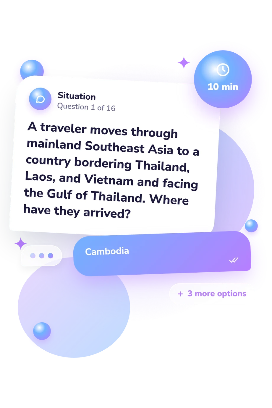
Each item presents a short travel, map, or descriptive prompt with four answer choices. The respondent uses borders, relative position, seas, or capitals to select the country that completes the clue. Respondents choose among four options, and the questionnaire reports a result on the displayed scale with its interpretive band.
As a country knowledge test, its conceptual framework aligns with research on mental geographic organization. Friedman and deWinstanley (2006) examined how people mentally represent countries, while Lapon et al. (2020) studied worldwide cognitive maps and geographic judgments. These works support the relevance of relational country clues, but neither validates this online questionnaire, which is not presented as an adaptation of either instrument.
Interpretation should stay specific: a stronger band means more successful identification within these selected clues, while a lower band points to regions or relationships worth reviewing. Because the result depends on a limited sample, familiarity, attention, and recall, it is best read as self-reflection rather than a standardized measure of geographic ability.
- Friedman, William J., and Patricia A. deWinstanley. “The mental representation of countries.” Memory, 14(7), 853-871 (2006). 10.1080/09658210600782925
- Lapon, Lieselot, Kristien Ooms, Bart De Wit, Nina Vanhaeren, and Philippe De Maeyer. “People’s global-scale cognitive map versus their personal characteristics: a worldwide study.” Cartography and Geographic Information Science, 47(6), 550-564 (2020). 10.1080/15230406.2020.1809524
Updated: